Bell Rock Pathway in Sedona Trail Review
This was an unexpected hike for us. Heading towards Flagstaff, we opted to take the scenic route. Then, as we drove by we couldn’t help but get out of the car. We were short on time, and we were in such awe that we dilly-dallied a lot, that we didn’t reach our desired end point of the hike before needing to turn around. But, no regrets. We enjoyed ourselves immensely.
This post may contain affiliate links. When you make a purchase using one of these affiliate links, we get paid a small commission at no extra cost to you.
⭐⭐⭐⭐⭐
Location: 10 minutes south of Sedona
Trail Type: out and back
Elevation: about 4100 ft
Difficulty: our route was easy, but if you continue around the back and up Bell Rock it is more difficult
Entrance Fee: $5/car for a Red Rock Pass, or use your America the Beautiful Pass
Trail Map: Link to trail maps
Our Stats
Date: January 2024
Distance: 1.3 miles
Start: Bell Rock Trailhead
End: Bell Rock Trailhead
Hiking Time: 1hr 10min*
*A quick note on our hiking style – We stop and smell the roses. When I go for a run, speed is a consideration. While hiking, it is not. We take photos, watch the chipmunk in the tree, find geocaches, and simply enjoy the adventure. So, typically a hike can be completed in a shorter time than we log.
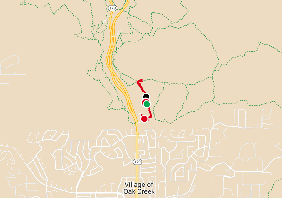
Our Route
The Hike
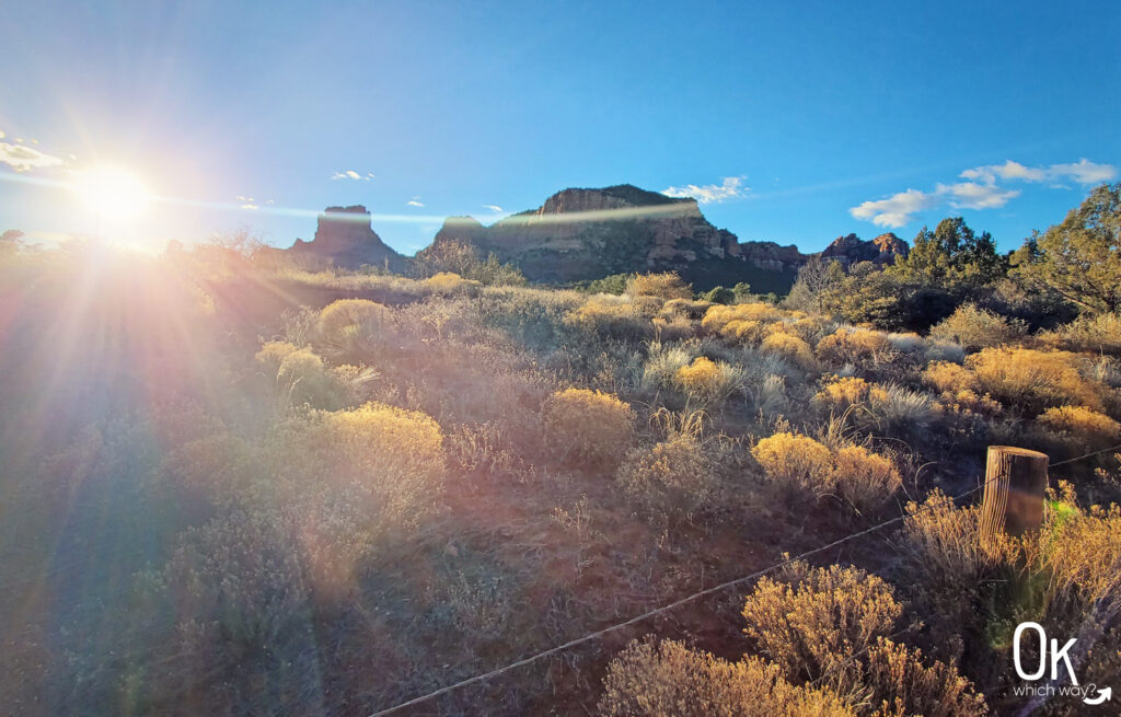
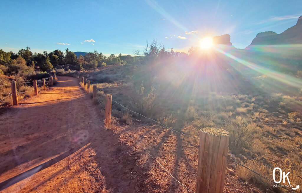
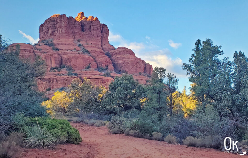
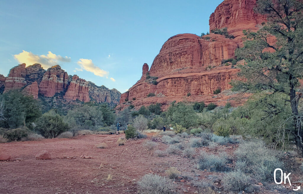
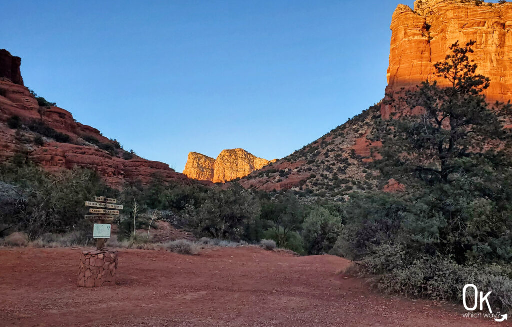
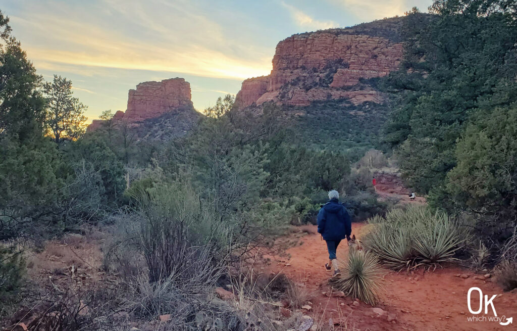
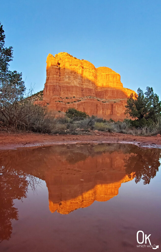
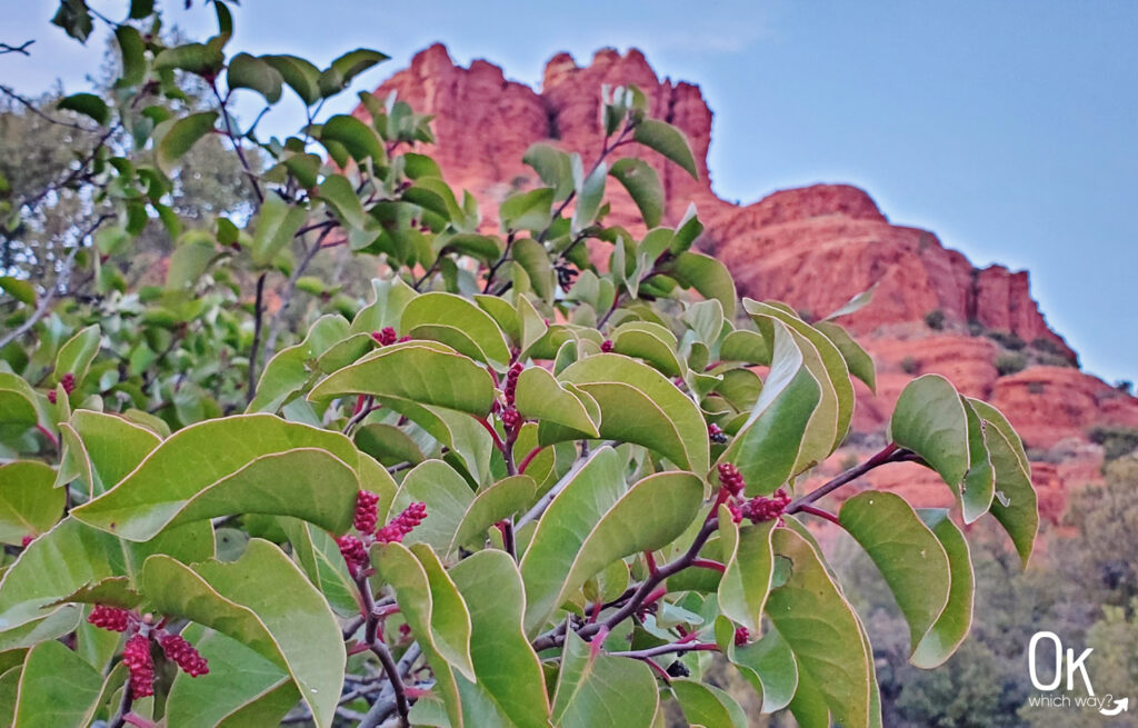
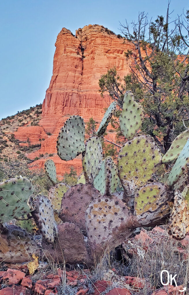
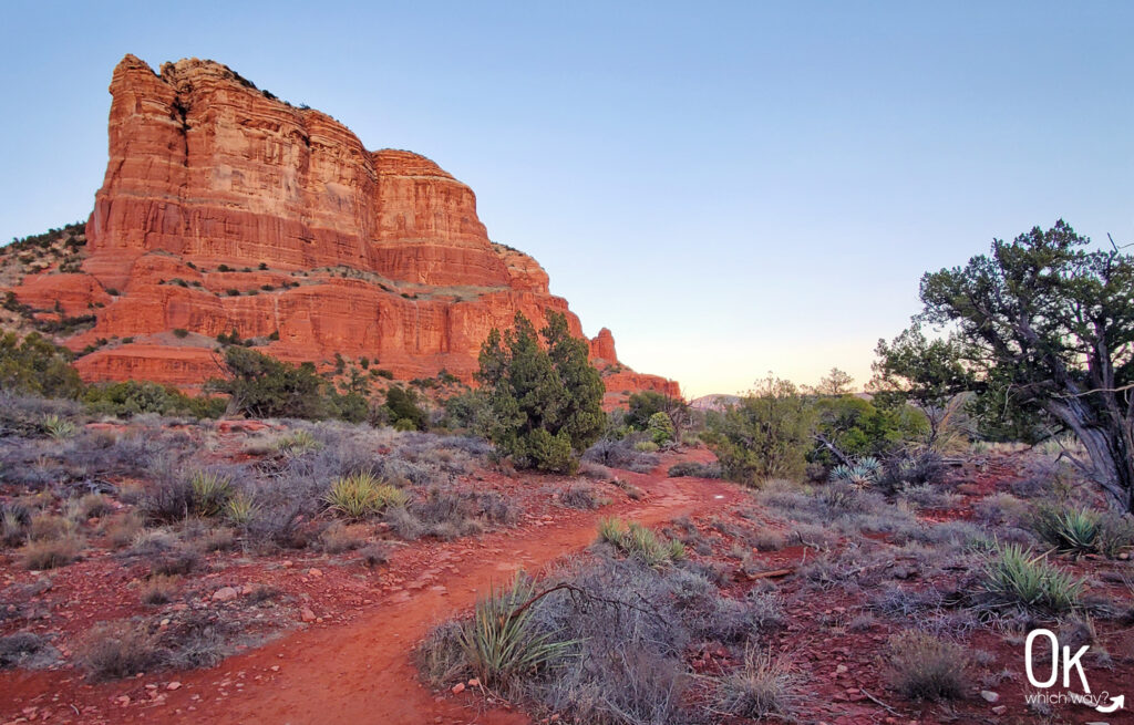
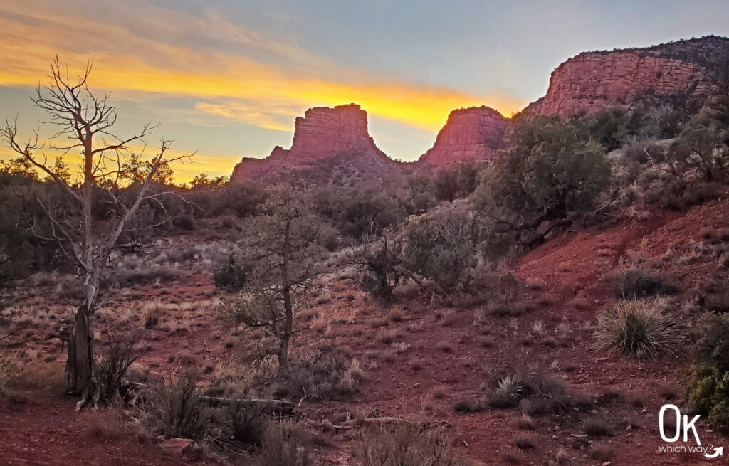
My photos can speak better than my words can articulate. So, my recap will be short.
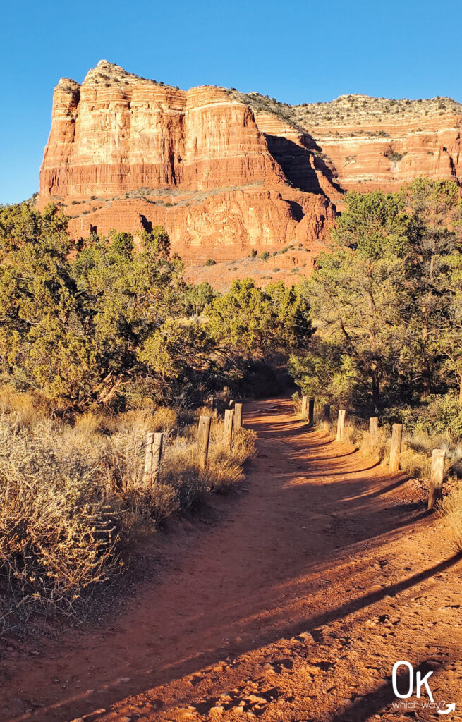
The path was red dirt and well maintained.
We just happened to be hiking at sunset – so, it was amazing.
We turned around at the intersection of Big Park Loop.
Optional Items to Bring
- 10 Essentials
- Collapsible Hiking Poles
- Portable Solar Charger
- Sun Protection

Red Rock Scenic Byway
The Red Rock Scenic Byway is a short, 7.5 mile 2 lane road meandering through Red Rock Country, with the highlight being nature itself with fabulous red sandstone formations.
Other hikes along Scenic Byways


