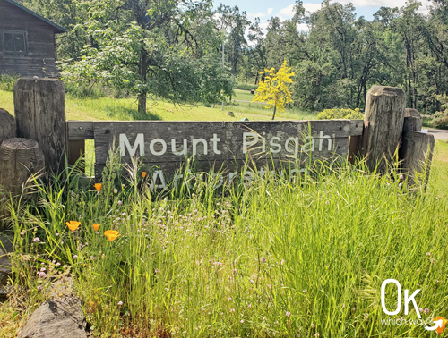
Mount Pisgah Summit Trail Review
Mount Pisgah in the Howard Buford Recreation Area stands above the Coast and Middle Fork arms of the Willamette River. Located in Lane County, this sprawling park has 17 miles of hiking and equestrian trails. While meandering through meadows and oak groves is a highlight for many, the summit trail reigns supreme as the most popular route for hikers seeking a fantastic view from the top.
This post may contain affiliate links. When you make a purchase using one of these affiliate links, we get paid a small commission at no extra cost to you.
⭐⭐⭐⭐⭐
Location: East of Eugene, less than 15 minutes from Hayward Field
Trail Type: Out and Back
Elevation: 525 – 1518ft
Difficulty: Rated as moderate due to the steep grade
Resources
Entrance Fee: $5/car click here for information on parking fees
Trail Map: Link to trail map
Parking: The West Trailhead is located near Mount Pisgah Arboretum
Know Before You Go
Watch for ticks and poison oak
Our Stats
Date: May 2024
Distance: About 3.4 miles
Start: West Trailhead
End: West Trailhead
Hiking time: About 2 hours
Our Route
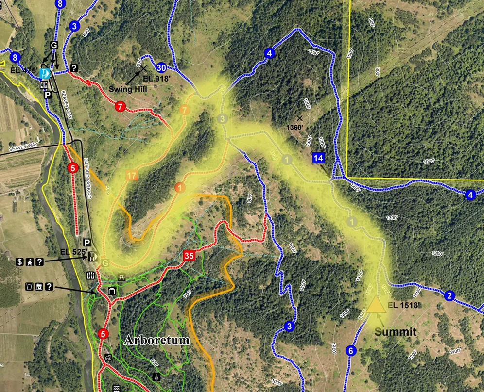
Going Up
The popular and scenic Summit Trail is primarily gravel and is well maintained. It is a fairly consistent climb to the top, the steepest part being at the start of the trail.
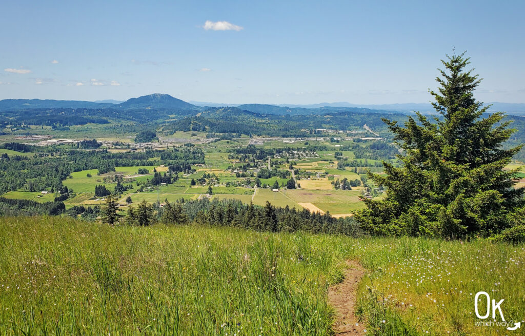
The journey begins with a shady section lined with Oregon white oak trees. As you ascend, the landscape opens up, wandering through grassy meadows. Close to the summit, the trail narrows, and oak trees are present once again. And then, suddenly, the trees disperse and you’ve made it to the wide open summit.
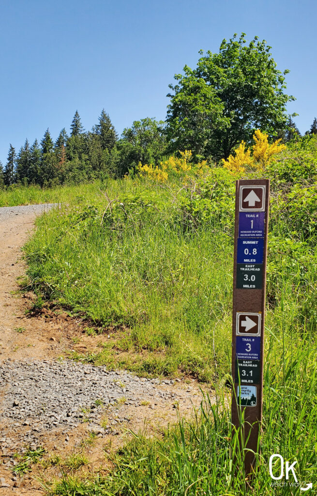
The steep incline right from the trailhead means you don’t have to hike to the top to be awarded a great view.

At the Summit of Mount Pisgah
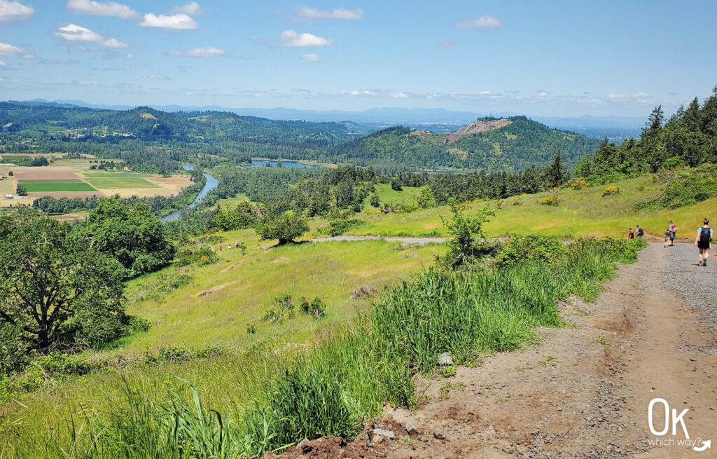
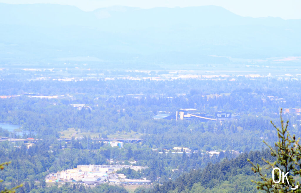
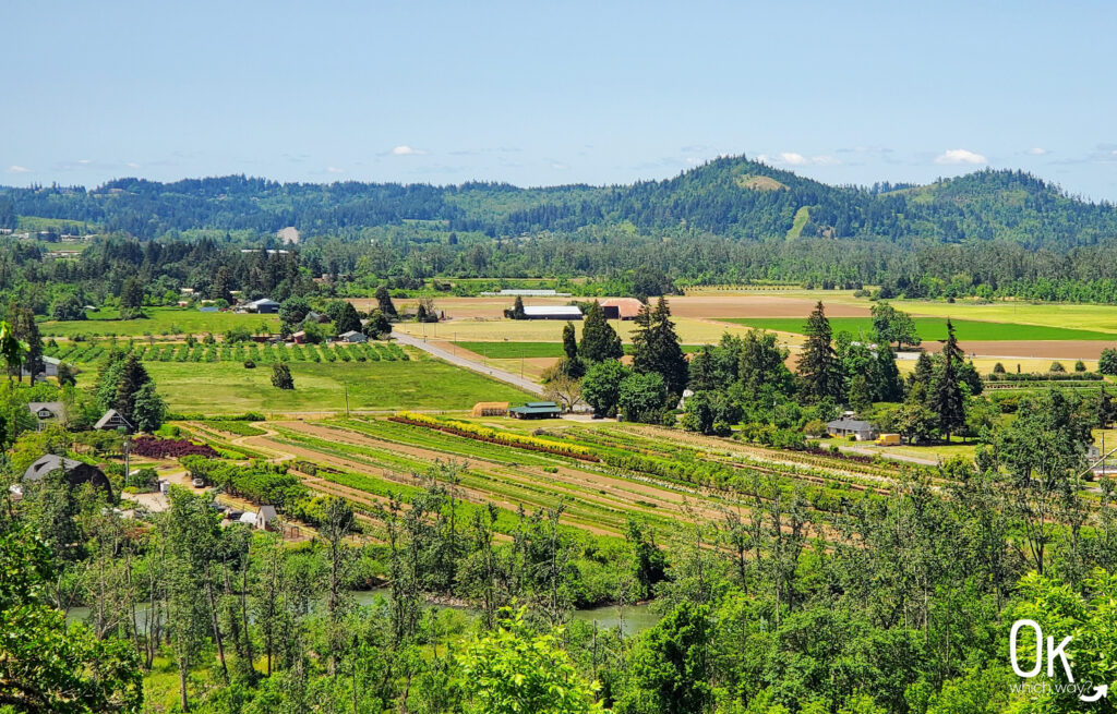
The walk uphill is worth every step as the views from the top of Mount Pisgah are spectacular. Enjoy a panorama of the Willamette Valley, with the cities of Springfield and Eugene, picturesque farmland, and the Willamette River all within sight. Looking east offers views of Willamette National Forest and the Cascade Range, including the Three Sisters and Diamond Peak off in the distance.

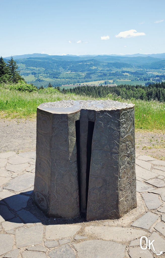
Designed by Pete Helzer, a bronze pedestal marks the summit of Mount Pisgah. Take the time to look closely at the sculpture, as it is highly detailed. The sides mark geologic history, while the top is a relief map of the area.
Heading Down Mount Pisgah
The map shows that the trail continues beyond the summit marker as Trail #6 and meets Trail #3 to make this hike a loop. I prefer loops as opposed to out and back routes. But, when I visited, Trail #6 was hardly visible, looked steep, and seemed to be an equestrian trail. I wasn’t confident that it was the correct trail or if I was supposed to be on it, so I opted to turn around and go back the way I came. Everyone else was turning around as well, so I assumed that was the best way to go.
I did change up the route a bit on the way down, though. At an intersection about half way back to the trailhead, I veered right onto Trail #3. And from there walked along Trails #7 and #17. I enjoyed these trails through the trees and the fabulous views of farmland.
Final Thoughts
The weather was perfect on the late May morning I hiked Mount Pisgah. There were many people on the trail, but it never felt crowded. The views were great nearly the entire length of the route. I would absolutely hike this trail again.
Optional Items to Bring
LEAVE NO TRACE
Want an easy way to reread this review?
Pin it ⬇
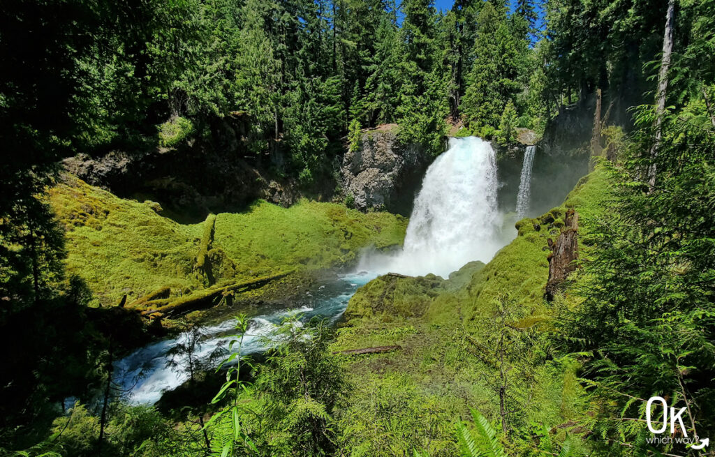
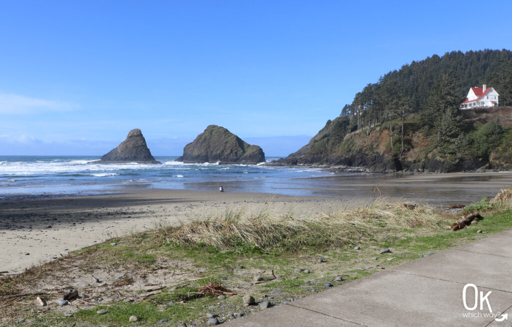
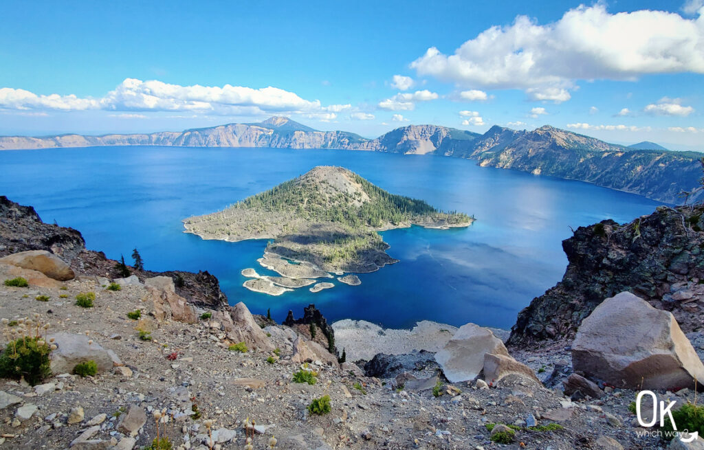
More Outdoor Places to Explore in Oregon