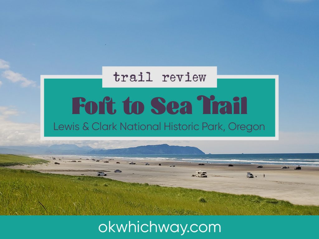
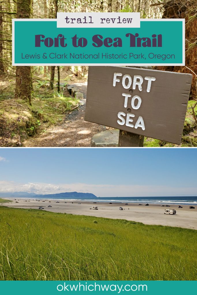
Fort to Sea Trail near Astoria, Oregon
I had been wanting to tackle the Fort to Sea Trail and finally got the opportunity in July of 2020.
This post may contain affiliate links. When you make a purchase using one of these affiliate links, we get paid a small commission at no extra cost to you.
The trail roughly follows the route Lewis & Clark would have traveled to the Pacific Ocean during their stay at Fort Clatsop the winter of 1805/06.
It is an interesting hike beginning in the forest, continuing through grassy fields, and finally reaching the sea.
Fort to Sea Trail Stats
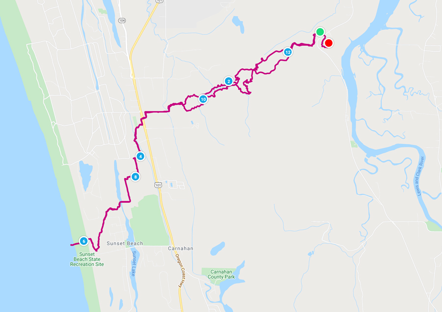
Trailhead: Fort Clatsop or Sunset Beach; we parked at Fort Clatsop
Trail Type: Out and Back; could also be point to point if you have 2 vehicles
Difficulty: 🟦 Intermediate, the miles are long, but the terrain is not difficult; based on OK Which Way’s rating system
Distance: 12.5 miles
Elevation: Sea level – 329 feet
Planning Your Visit
Location: Lewis and Clark National Historical Park, near Fort Clatsop, about 10 minutes from Astoria
Address: 92343 Fort Clatsop Rd, Astoria, OR 97103
Time Zone: Pacific Standard Time
Parking: Fort Clatsop or Sunset Beach
Park Pass Needed: If parking at Fort Clatsop, a National Park pass is needed. If parking at Sunset Beach no pass is needed.
Entrance Fee: $10/person if parking at Fort Clatsop. click here for current fee pricing
There is no fee if you park at Sunset Beach State Recreation Site
Trail Map: Link to AllTrails map
Pets: Dogs allowed on a leash
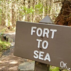
Fort to Sea Trail
We parked at Fort Clatsop and began the hike at the nearby trailhead, working our way towards the beach.
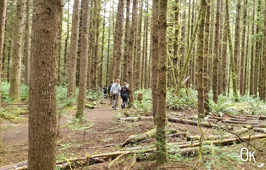
Forest Section
The first 4 miles are through a typical Oregon Coast forest with Sitka Spruce and Western Hemlock towering above and sword ferns below.
Quick Tip
Enjoy the shade now while you can
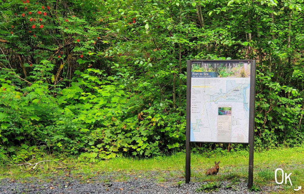
An information sign, red elderberry, and a rabbit
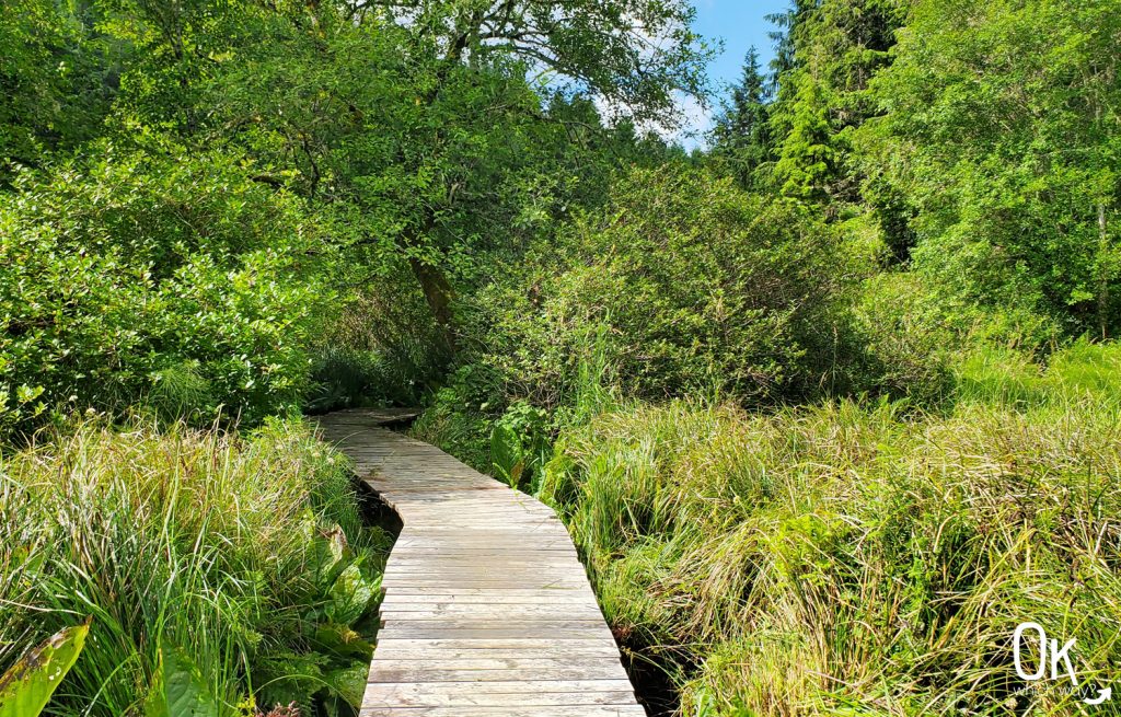
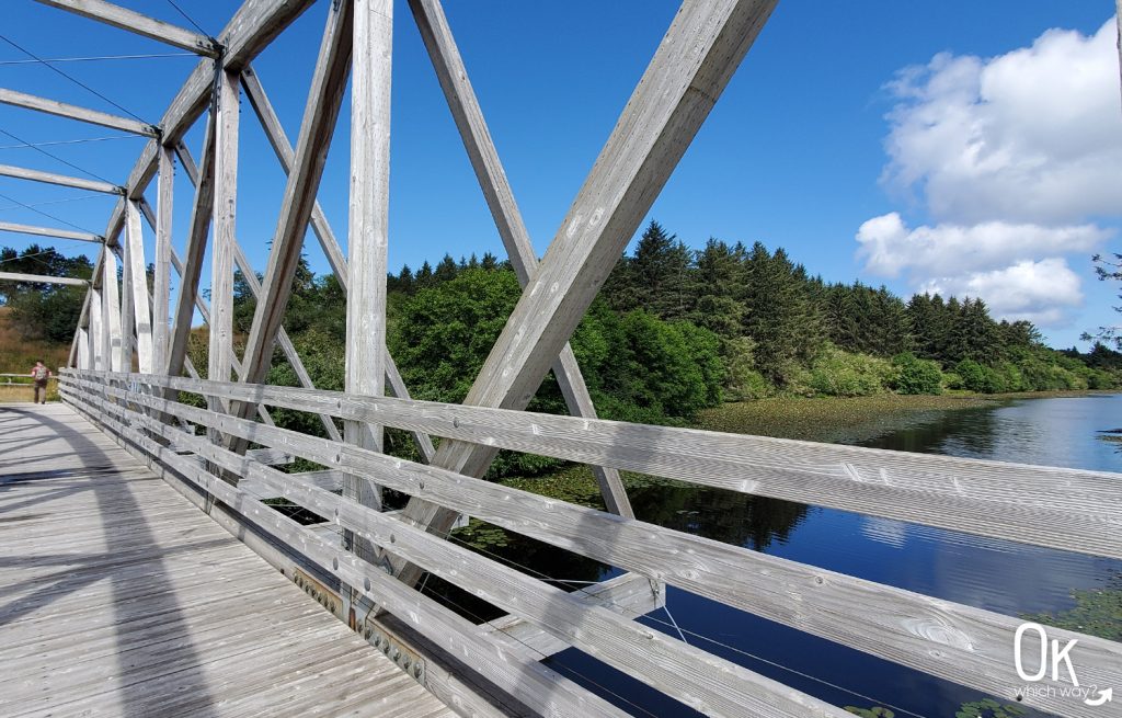
Boardwalk through a swampy section before going through a tunnel under Highway 101.
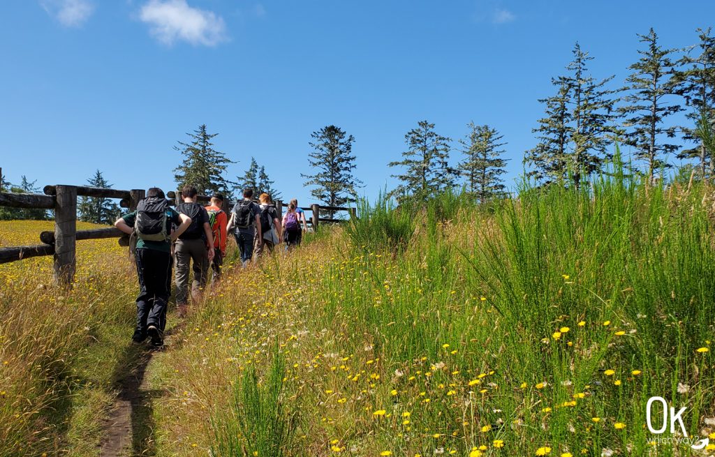
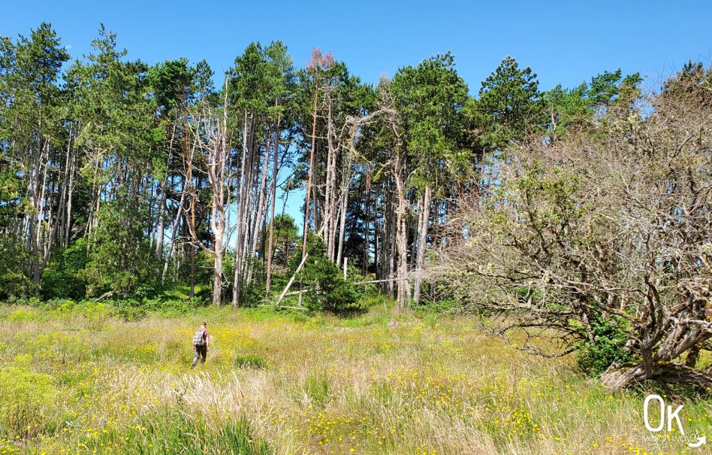
Open Field Section
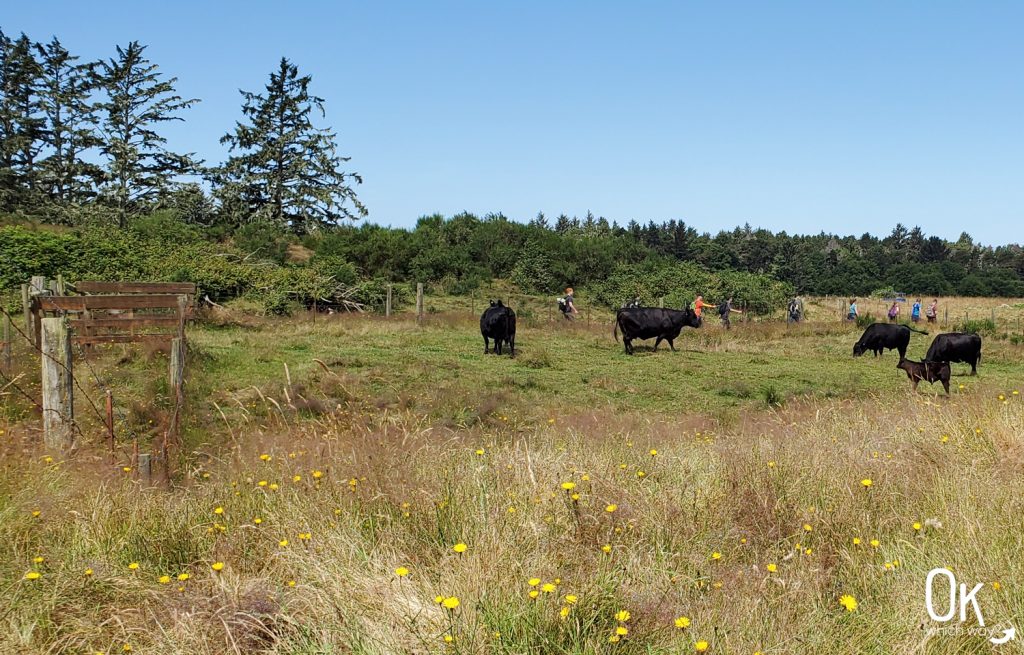
Once we passed through the tunnel the shade was gone. Instead of trees and ferns, there were grasses and dandelions. …and cows.
Yep, the trail goes right through a cow pasture. You must wind through a number of cattle gates to continue along the trail.
Crossing Sunset Lake
We’re almost there
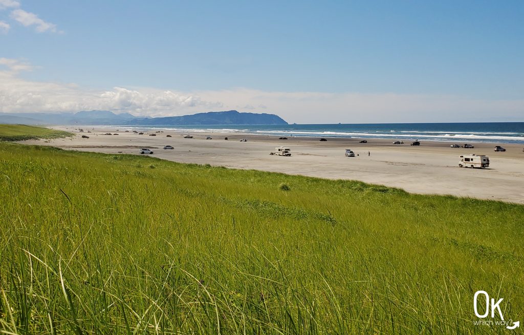
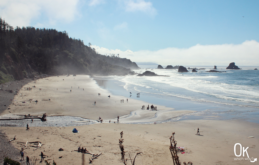
Sunset Beach
The trail led us to the Sunset Beach State Recreation Area parking lot and a very welcome vault toilet. Continuing another third of a mile, through a grassy dune, we reached the Pacific Ocean. Such a beautiful sight with Tillamook Head off in the distance. Off to the right, out in the ocean, we can just barely see the lone basalt rock and Terrible Tilly.
Local Information
Most Oregon beaches are not accessible to vehicles, but Sunset Beach is one of the places you can drive right down on the sand and tailgate. This is also a popular place to go clamming, when the tides are right.
We enjoyed the view, ate our lunch, then turned around and hiked the 6+ miles back to Fort Clatsop.
After the Hike
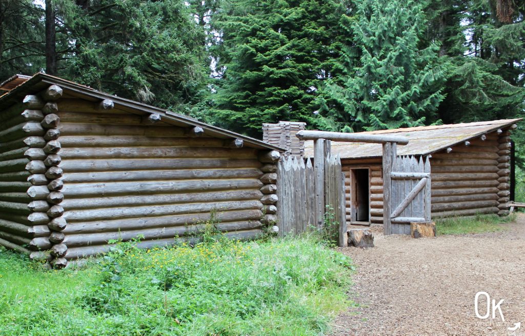
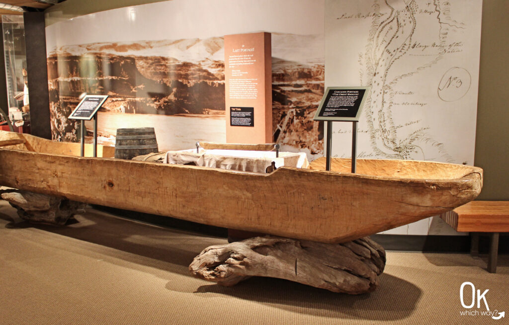
If you’re not too wore out from the hike, I highly recommend exploring the fort replica at Fort Clatsop. It’s such an interesting look into how the members of the Lewis and Clark Expedition survived the winter here.
Final Thoughts
This hike was as expected. It’s a long one, but thankfully, it’s primarily flat with only one steep section. Also, since it’s at sea level there are no issues due to elevation. I’m sure I will hike it again someday.
LEAVE NO TRACE
Optional Items to Bring
Connecting Trail
- At Sunset Beach, the Fort to Sea Trail connects with the Oregon Coast Trail
Our Stats
Date: July 2020
Distance: 12.2 miles
Start: Fort Clatsop
End: Fort Clatsop
Hiking Time: 5hrs 20min

Thinking About Conquering the Fort to Sea Trail?
Pin This to Help Plan Your Trip ⬇
Lewis and Clark Sites Nearby
This trail review is based only on Jennifer’s experience. Hike at your own risk with the understanding that individual scenarios in a natural environment will be variable.