Dee Wright Observatory
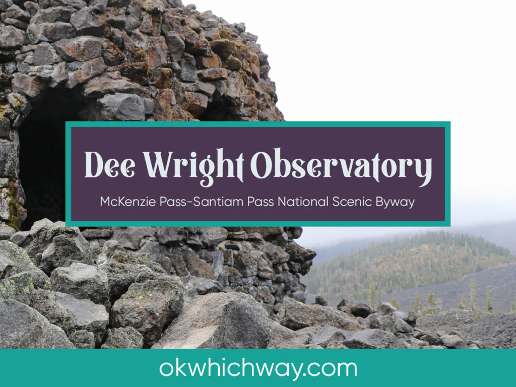
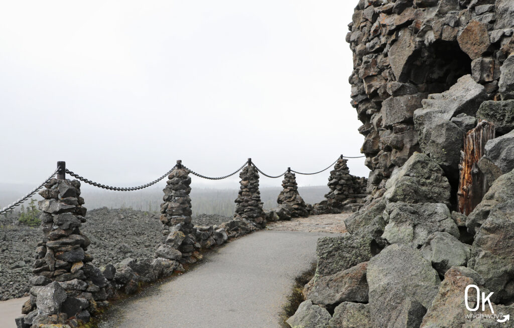
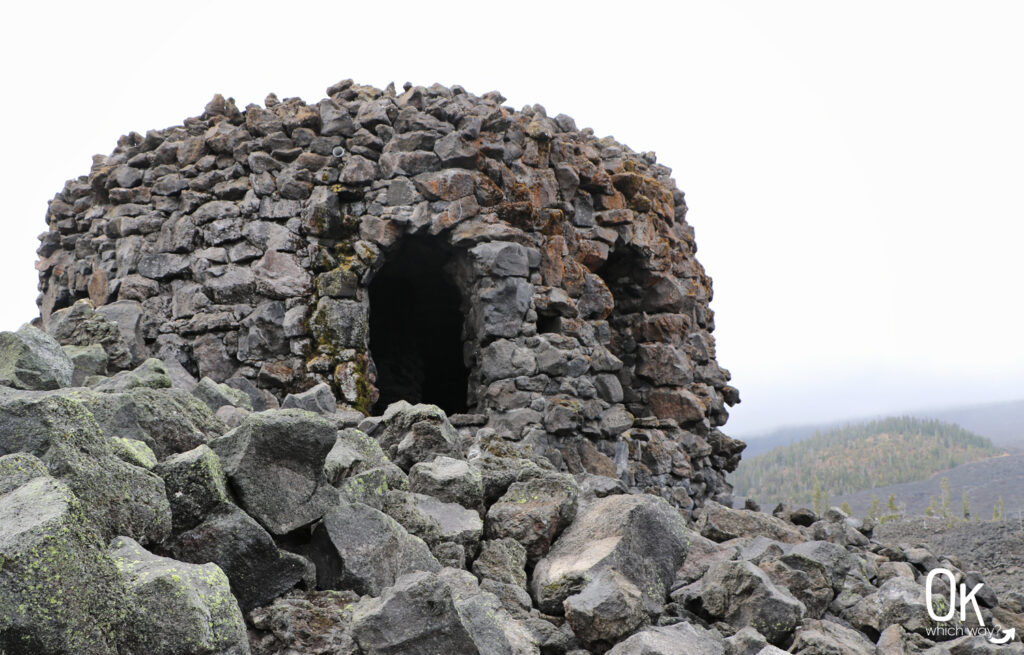
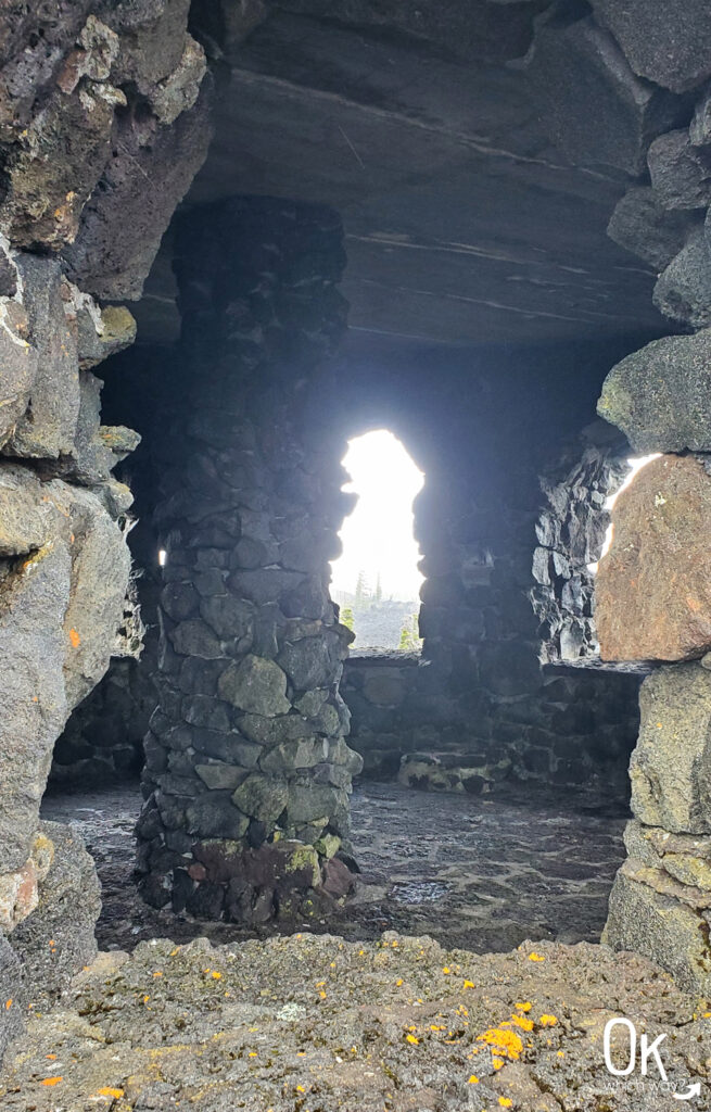
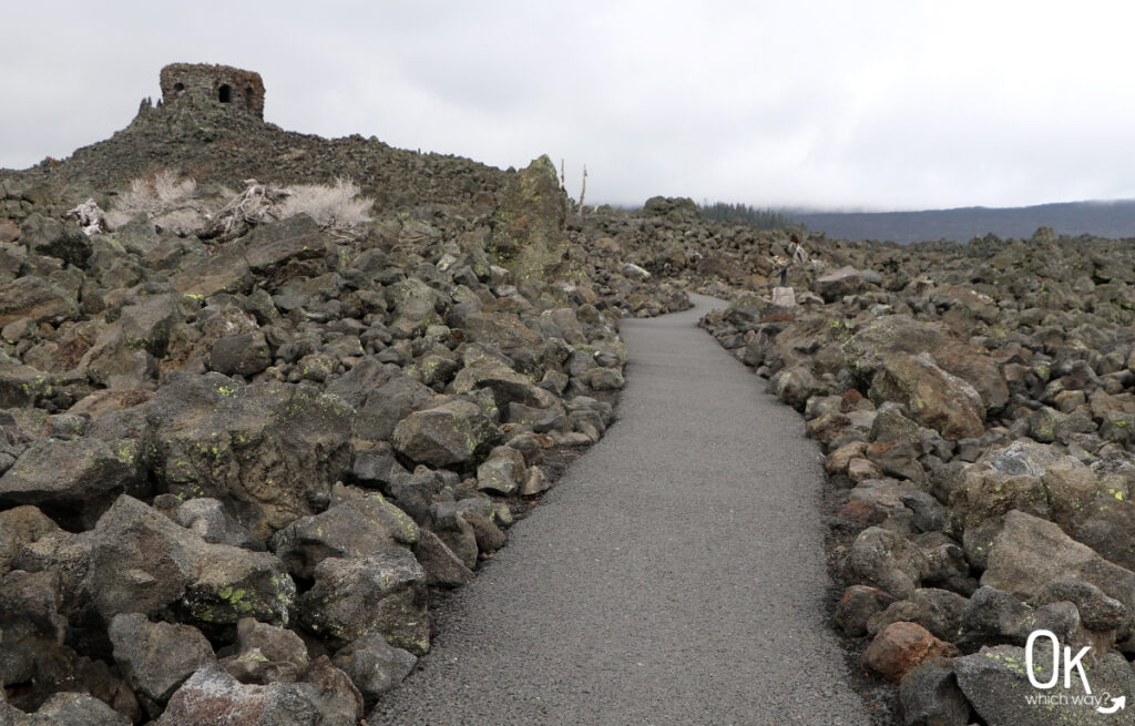
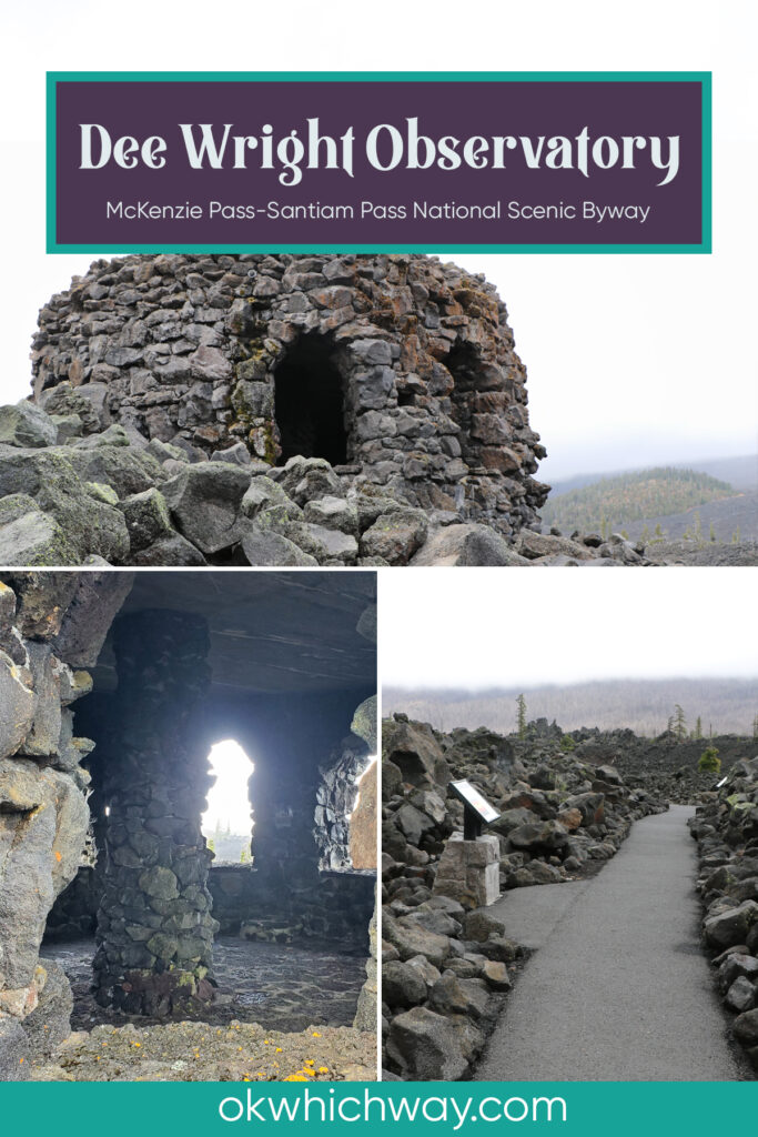
Situated near the McKenzie Pass summit, at 5,187 feet, is the Dee Wright Observatory. The rock structure, built by the Civilian Conservation Corps, has openings that provide panoramic views of a large lava field and the Cascade Range.
This post may contain affiliate links. When you make a purchase using one of these affiliate links, we get paid a small commission at no extra cost to you.
Know Before You Go
Day Use Fees: none
McKenzie Pass: seasonal road between Sisters and Belknap Springs, with a vehicle limit of 35 feet
* Before heading to the Observatory, look at Trip Check to see if McKenzie Pass is open
FUN FACT: The observatory was built by the Civilian Conservation Corps and completed in 1935
McKenzie Pass (Oregon Route 242)
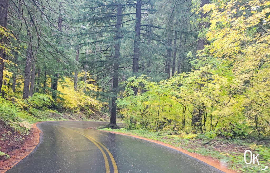
To reach the Observatory you will travel along McKenzie Pass, a scenic highway between Sisters and Belknap Springs. The route follows an old wagon road and is now on the National Register of Historic Places.
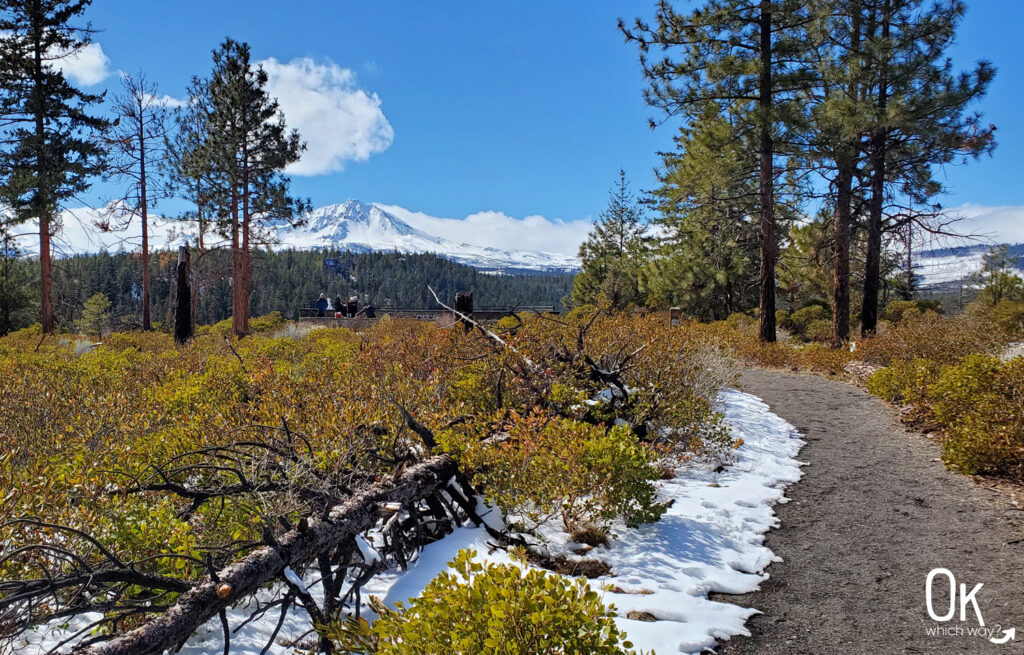
The photos I used for this post were from a trip in early October. It was a beautiful day as we reached the Byway near Sisters. As we ascended, though, the weather turned cold and we encountered spots of falling snow – thus making our view not as great as it can be.
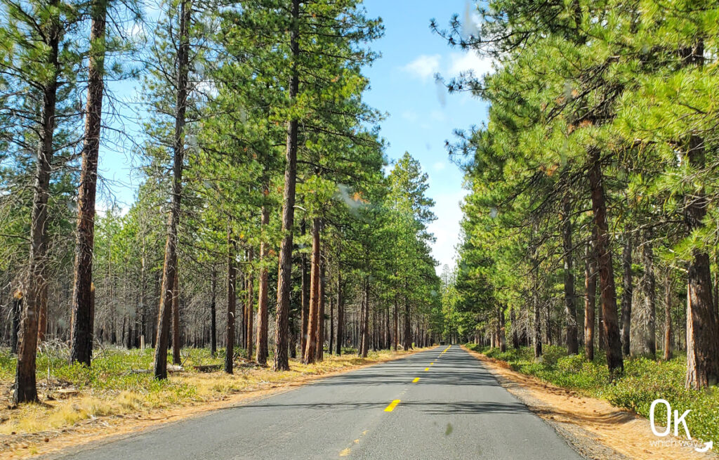
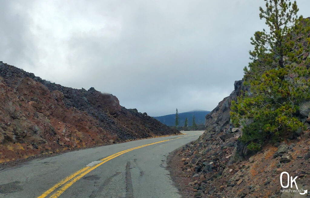
Dee Wright Observatory
The Dee Wright Observatory was hand built from local lava resulting from a flow from Yapoah Crater. It is named after a forest officer who unfortunately died before the completion of the structure in 1935.
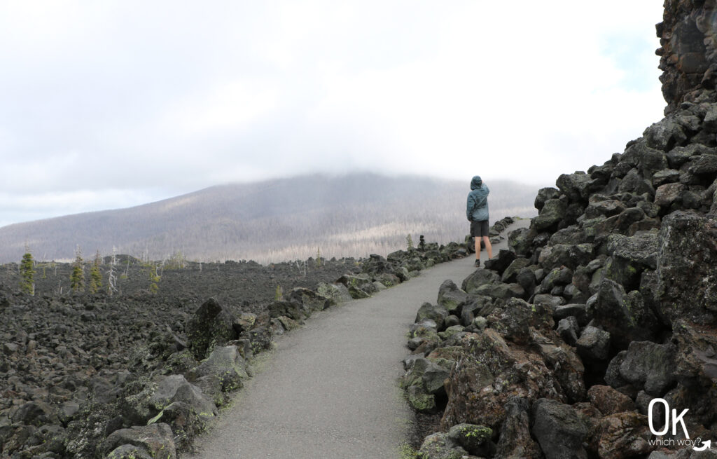
Parking for the Observatory is right along the highway. From there, you can climb to the Observatory, read interpretive signs, and walk along the paved trail through the lava bed.
On a clear day you can see craters, buttes, and mountains including Mt. Washington, Mt. Jefferson, the Three Sisters, and Mt. Hood.
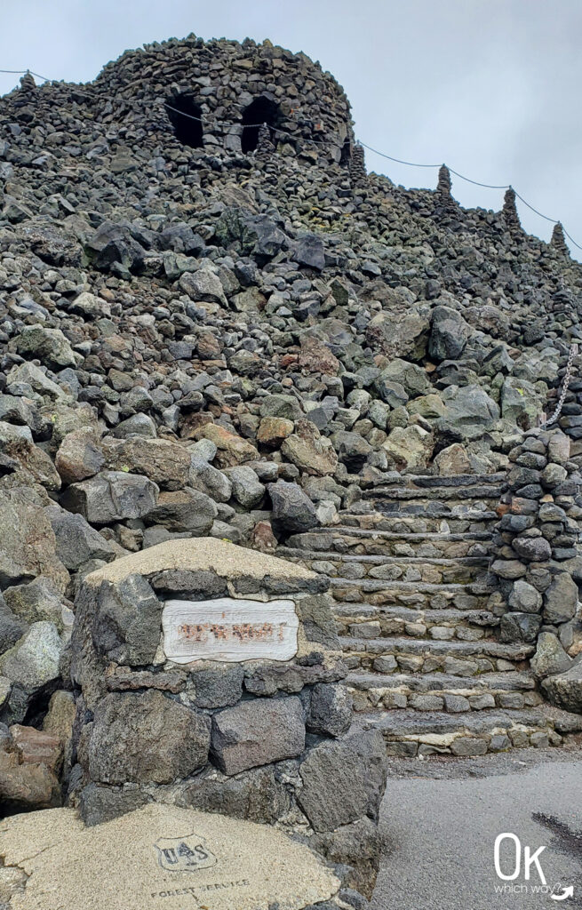
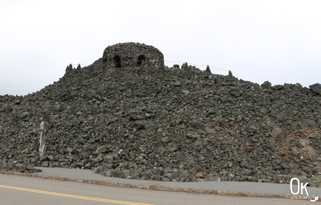
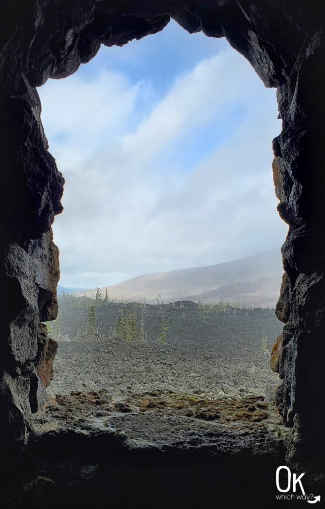
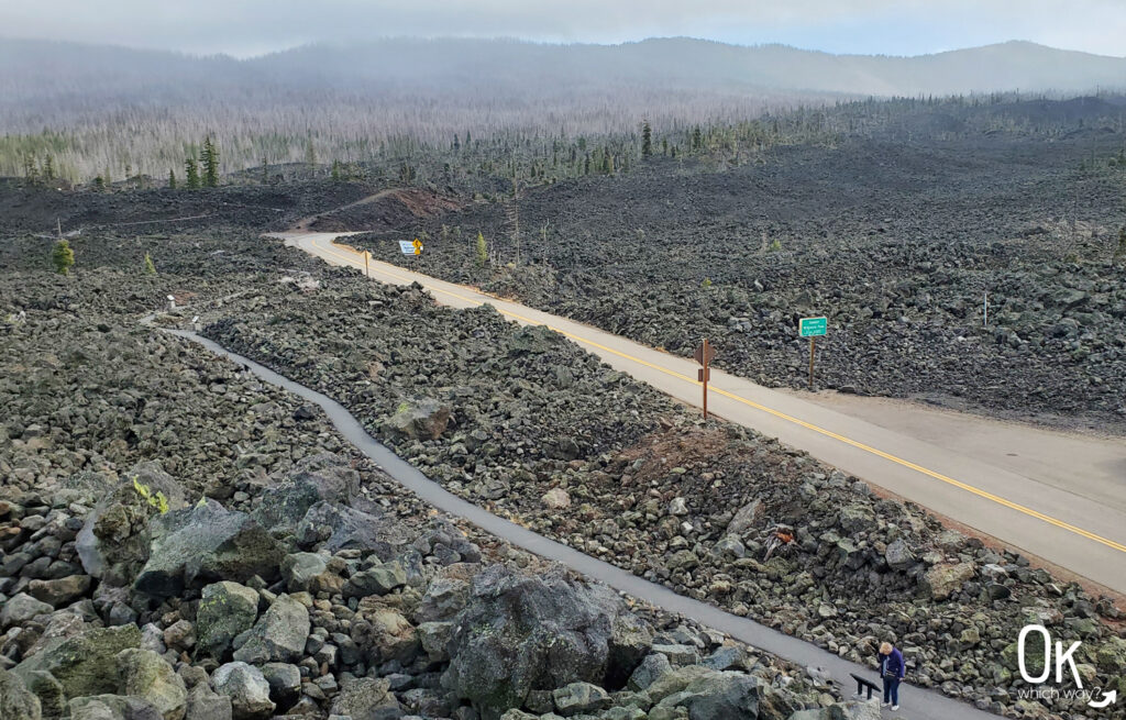
Lava River National Recreation Trail
The Lava River National Recreation Trail is a paved, half mile trail meandering through the relatively young lava flow.
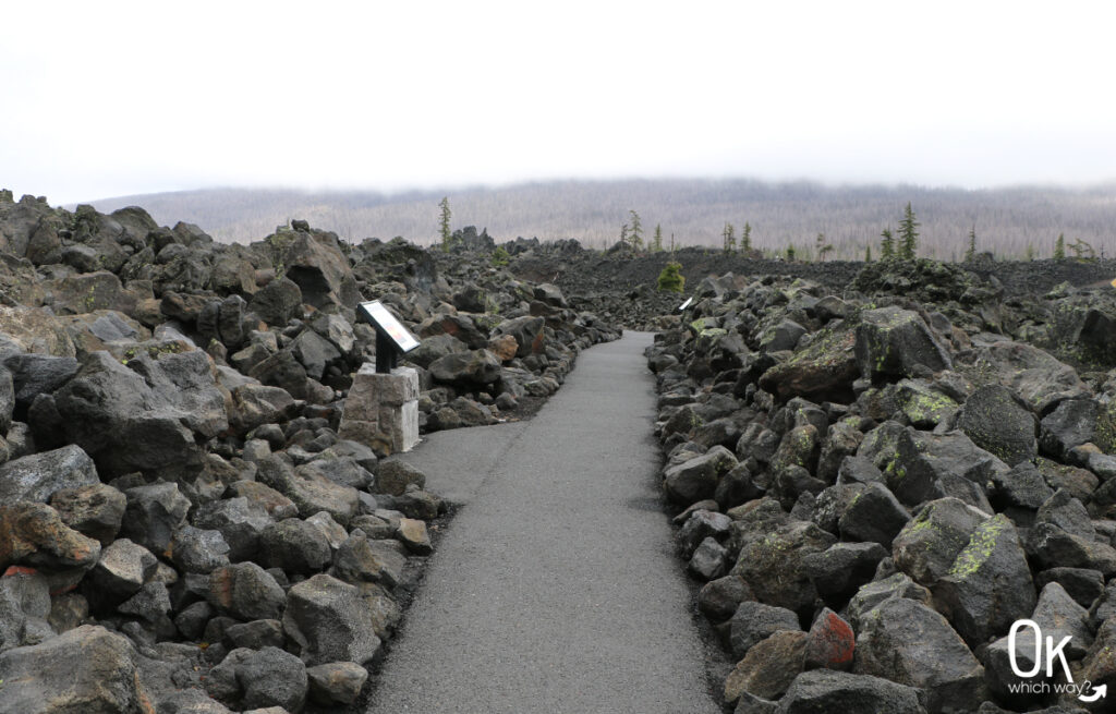
‘A‘ā Lava
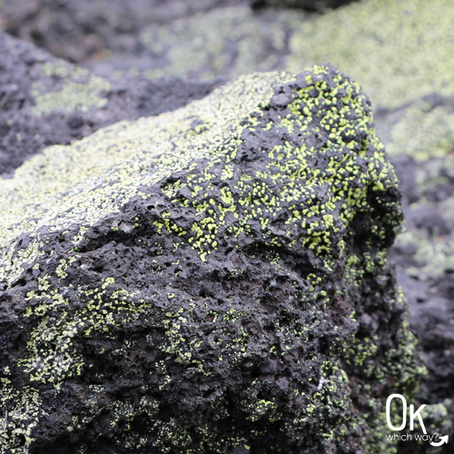
The rock in this field is ‘A‘ā lava, a Hawaiian word pronounced Ah Ah. This type of lava is formed when surface lava cooled quickly while molten lava continued to flow underneath.
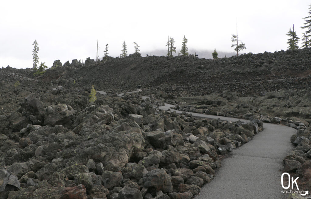
Life is slowly returning:

McKenzie Pass (Oregon Route 242)
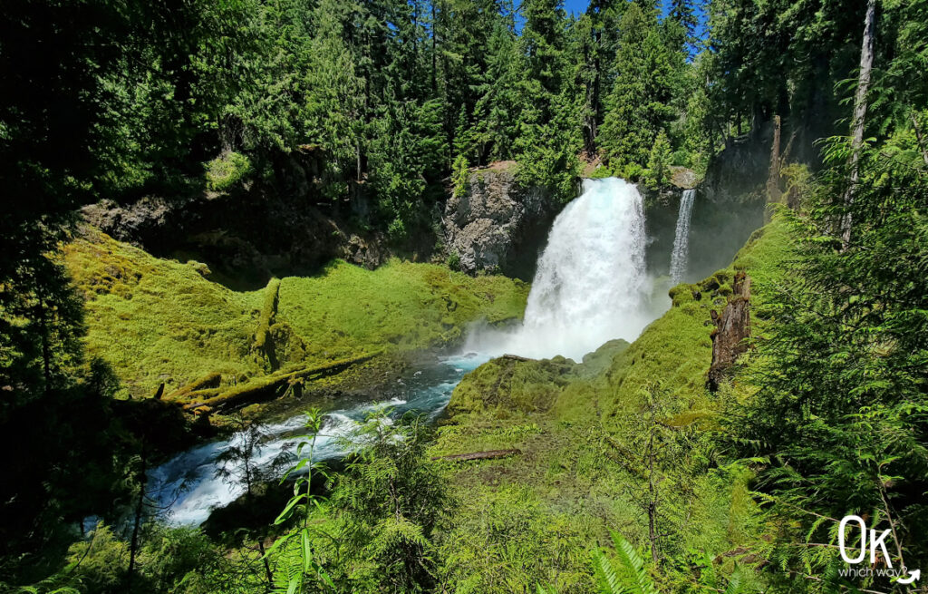
Heading southwest towards Belknap Springs from the Observatory the landscape changes from a nearly barren lava bed to the luscious Willamette National Forest. If you’re looking for one more adventure along the pass, Proxy Falls is a popular place to hike.
Optional Items to Bring
LEAVE NO TRACE
McKenzie Pass – Santiam Pass Scenic Byway
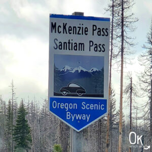
The McKenzie Pass – Santiam Pass Scenic Byway is an 82 mile loop through Oregon’s Cascade Mountain Range. Driving through forests and passing by volcanoes, cinder cones, and lava flows, the natural views along this Byway are outstanding.
Pacific Crest Trailhead at McKenzie Pass

The PCT crosses McKenzie Pass about a half mile from the Dee Wright Observatory. The trailhead at McKenzie Pass is a good starting point for a hike to Belknap Crater or a longer hike past Mt. Washington to Santiam Pass.
Thinking About Visiting the Dee Wright Observatory?
Pin This to Help Plan Your Trip ⬇
Places to Visit Near the Dee Wright Observatory

