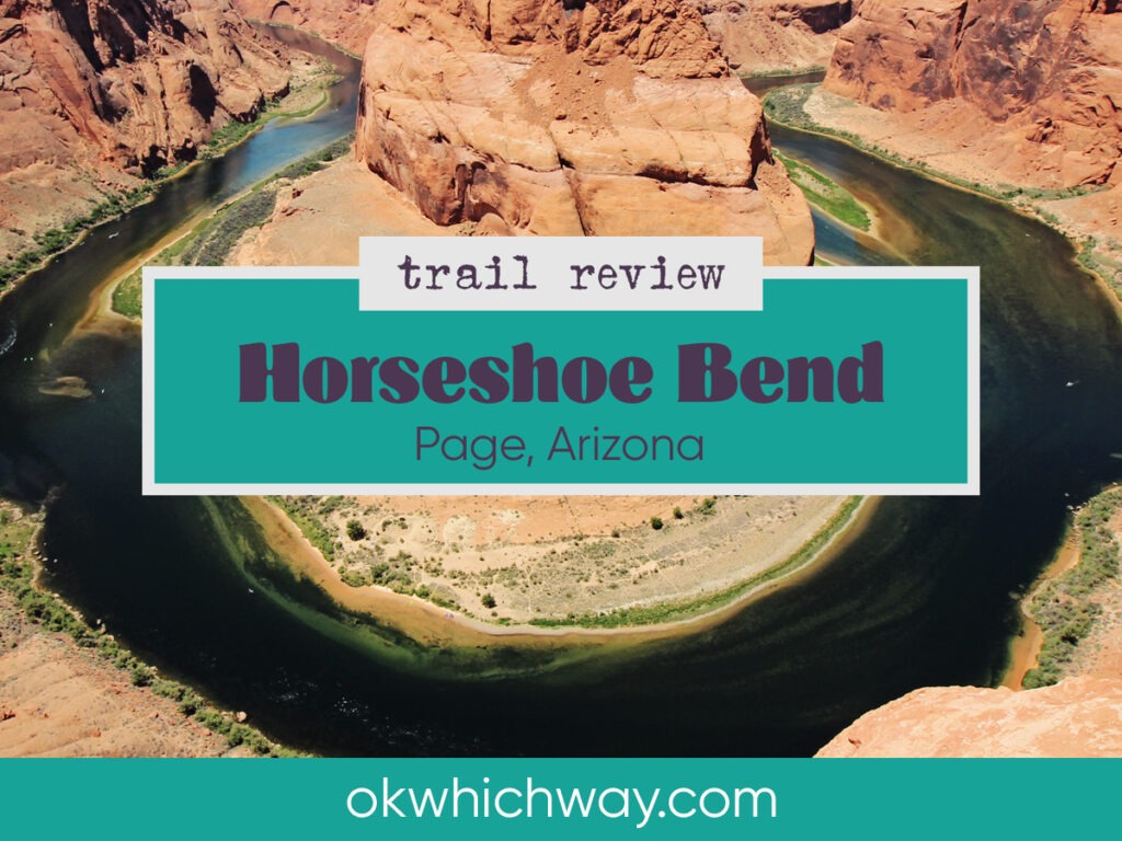
Hiking to Horseshoe Bend in Page, Arizona
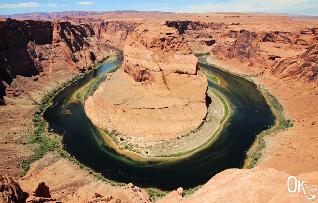
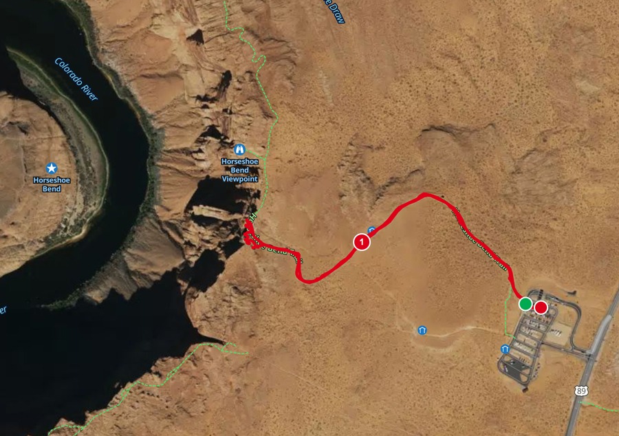
Located near Lake Powell and Antelope Canyon, Horseshoe Bend is a top destination for travelers and a staple on any Southwest road trip. This short trail leads you to a massive, 1000 foot deep curve in the Colorado River that has become one of the most photographed spots in Arizona. Situated just 9 miles upstream from the Grand Canyon, this 1.5 mile hike leads to an iconic view with relatively little effort.
This post may contain affiliate links. When you make a purchase using one of these affiliate links, we get paid a small commission at no extra cost to you.
Horseshoe Bend Trail Stats
Trailhead: Horseshoe Bend
Trail Type: Out and Back
Difficulty: ⚪ Easy based on OK Which Way’s rating system
Distance: 1.5 miles
Elevation: around 4300 feet
FUN FACT: Around 5 million years ago, the Colorado Plateau uplifted. Instead of shifting course, the Colorado River began cutting straight down into the rising rock like a saw, creating the 1000 foot walls we see today.
Planning Your Visit or How To Get There
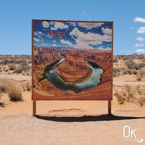
Location: 2 hours north of Flagstaff and 5 miles southeast of Page
Time Zone: Mountain Time
Parking: Large parking lot off US-89 that fills up during peak season
Park Pass Needed: None accepted
Entrance Fee: $10/car Check the Page, Arizona website for current fee pricing. Although the overlook sits within the Glen Canyon National Recreation Area with no fee required, the parking area is property of the city of Page and they charge a fee to park. Do not drop people off or park along US-89, as you could be ticketed.
Pets: Leashed pets are allowed
Know Before You Go: Hydration
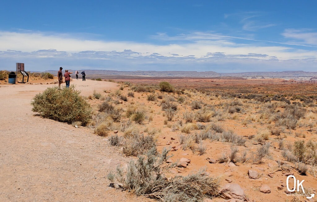
The entire 1.5 mile round trip trail is fully exposed to the sun with no natural shade. Despite the short distance and easy rating, the desert heat can be intense.
-
Water: Carry at least one liter of water per person.
-
Sun Protection: Wear a hat and apply sunscreen before starting.
-
Rest Stops: There are only two small shade structures with benches along the path if you need a break from the heat.
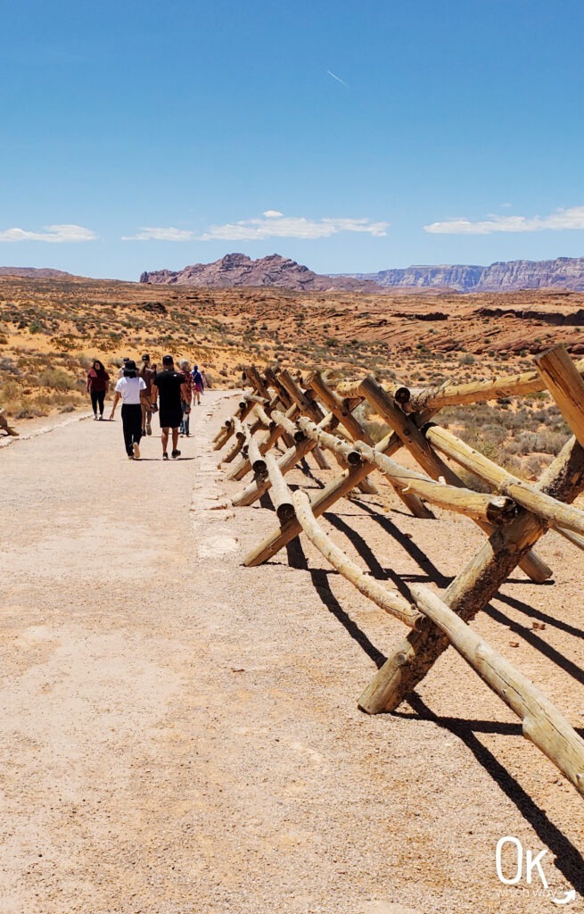
Walking the Horseshoe Bend Trail
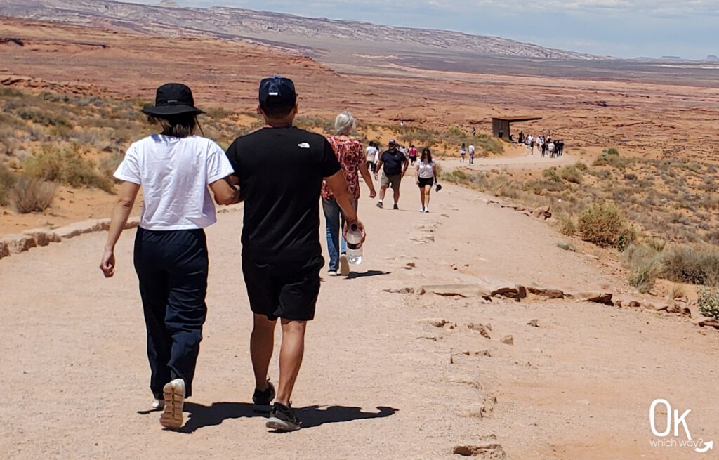
The hike to the overlook is a 3/4 mile walk, one way, on a wide, hard packed, and relatively flat trail.
-
Terrain: The path is well maintained with 137 feet elevation gain.
-
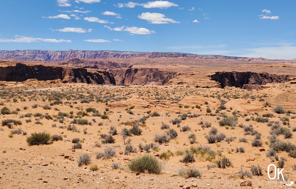
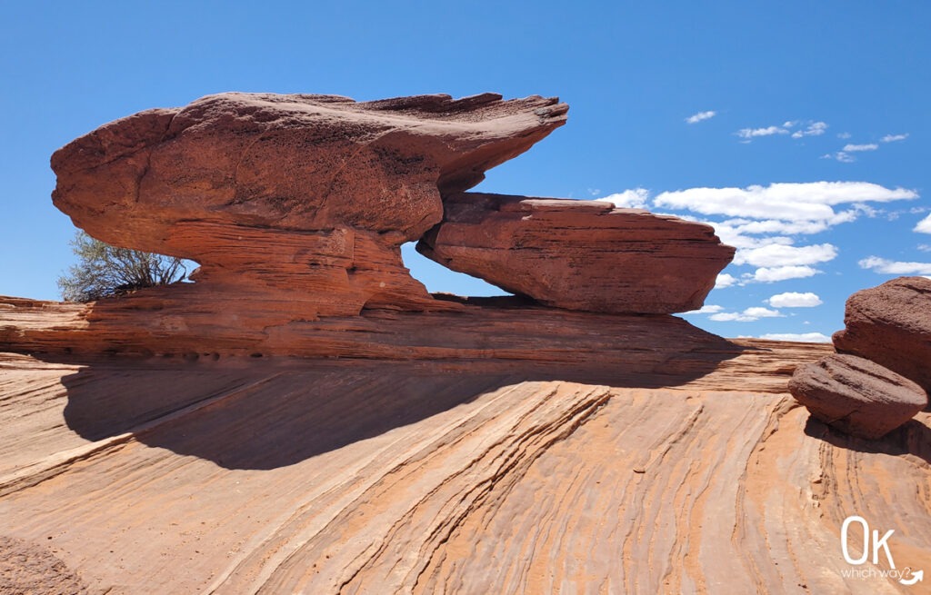
Scenery: Expansive desert views and interesting Navajo sandstone rock formations.
-
Jurisdiction: Shortly into the walk, a small sign indicates you have officially entered the Glen Canyon National Recreation Area.
-
Crowds: As a highly popular destination, the trail is often very crowded.
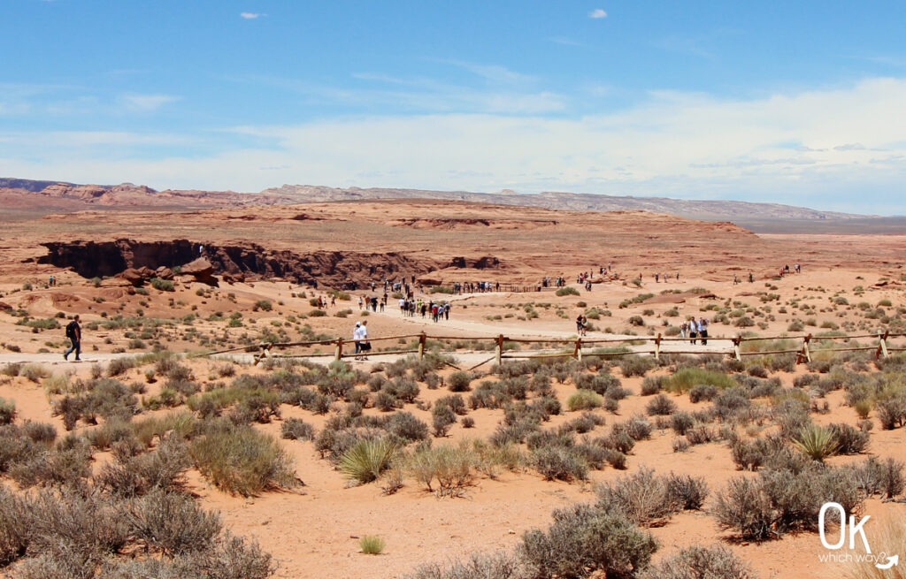
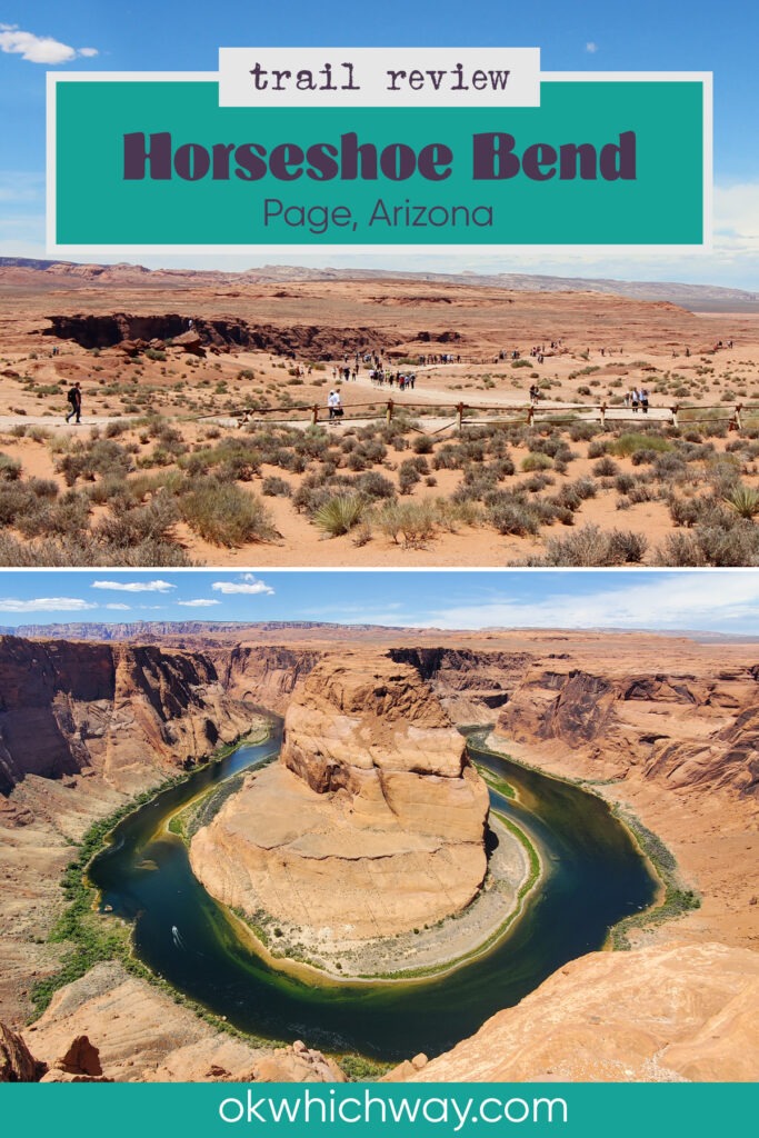
Horseshoe Bend Overlook
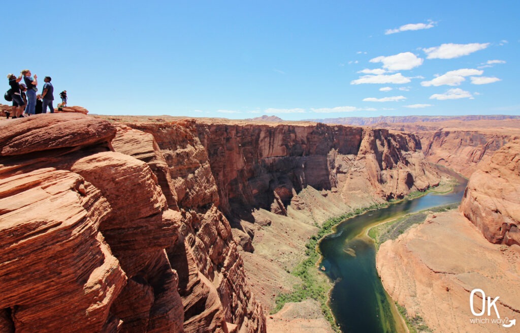
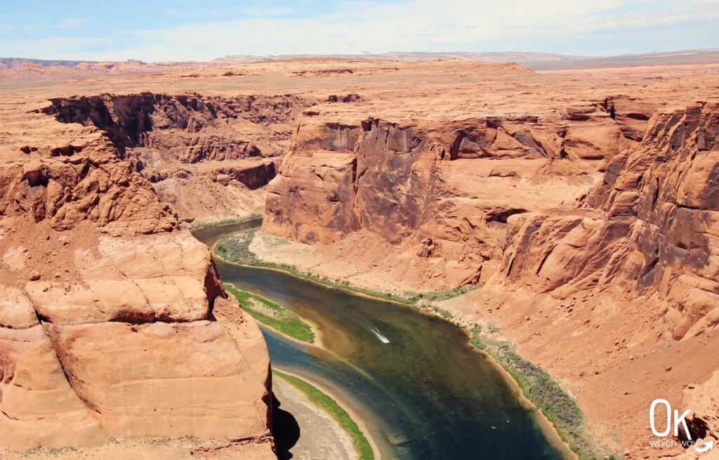
The trail ends at the rim of Glen Canyon, where the Colorado River sweeps around a towering sandstone cliff.
-
Safety: While there is a minimal fence at the main overlook, many areas remain open. Use extreme caution near the edges.
-
River Activity: 1000 feet down to the green waters of the Colorado River you can often spot kayakers navigating the bend.
- Photography: Use a wide-angle lens or the .5 setting on a phone to capture the entire bend in one frame.
Wildlife Sightings
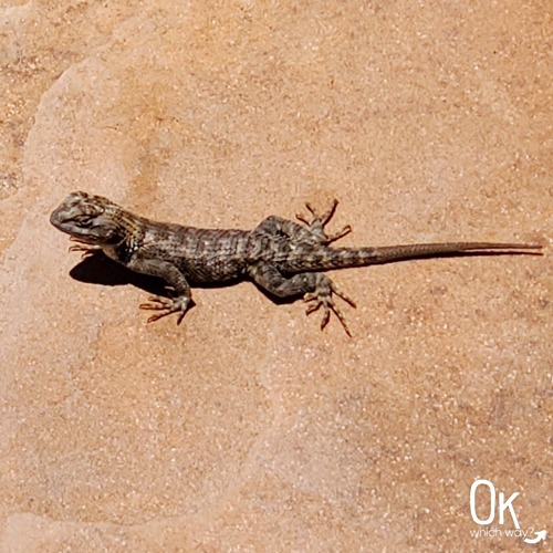
Although bighorn sheep, kangaroo rats, coyotes, and kingsnakes can be found in the area, we only noticed a couple lizards.
Final Thoughts
Horseshoe Bend is as spectacular and as lovely as you see in photos. However, the hike itself is not my favorite. The walk is boring and exposed to the elements. The view is a mandatory stop for the scenery, but next time I would rather be in a kayak down in the river.
LEAVE NO TRACE
Optional Items to Bring
Our Stats
Date: May 2025
Distance: 1.35 miles
Start: Horseshoe Bend Trailhead
End: Horseshoe Bend Trailhead
Hiking Time: 43min*
*A quick note on our hiking style – We stop and smell the roses. When I go for a run, speed is a consideration. While hiking, it is not. We take photos, watch the chipmunk, find geocaches, and simply enjoy the adventure. So, typically a hike can be completed in a shorter time than we log.
Planning to Visit Horseshoe Bend in Arizona?
Pin This⬇
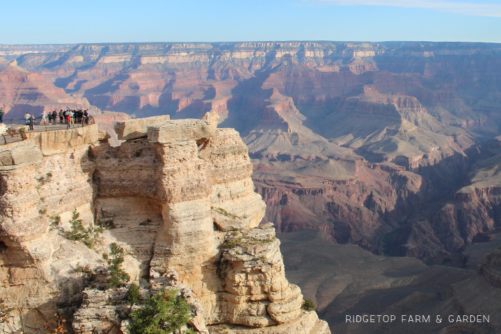
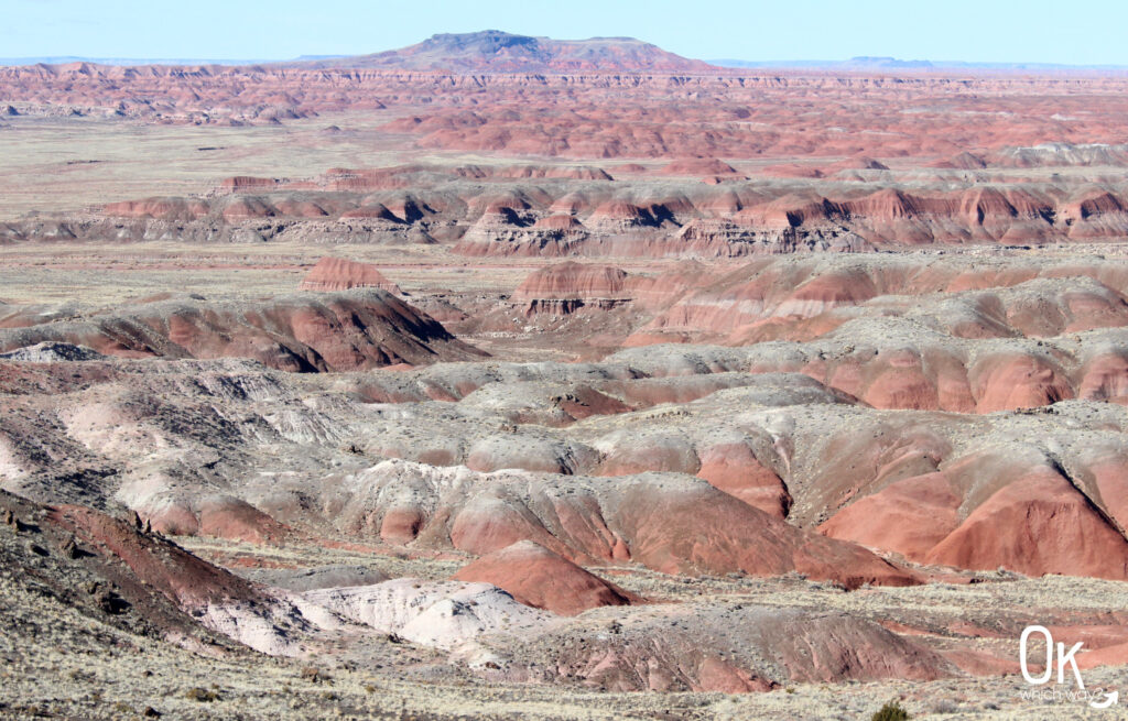
National Parks Near Horseshoe Bend
This trail review is based only on Jennifer’s experience. Hike at your own risk with the understanding that individual scenarios in a natural environment will be variable.