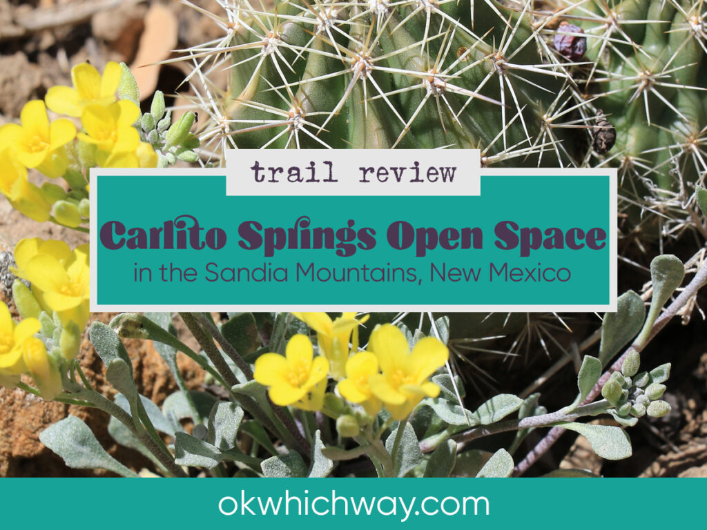
Carlito Springs Open Space Trail in New Mexico
Carlito Springs Open Space is located less than a half an hour east of Albuquerque in the Sandia Mountains. We stopped on our way from Roswell, before heading to the airport. This hike was exactly what we needed – a little outside time without too much effort. We hiked in early April and the weather was perfect. It started out a bit chilly, but half way through it warmed up just enough to be comfortable.
This post may contain affiliate links. When you make a purchase using one of these affiliate links, we get paid a small commission at no extra cost to you.
Carlito Springs Trail Stats
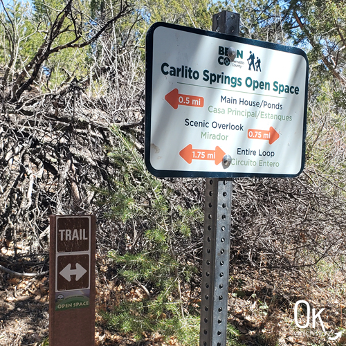
Trailhead: Carlito Springs Open Space Trailhead
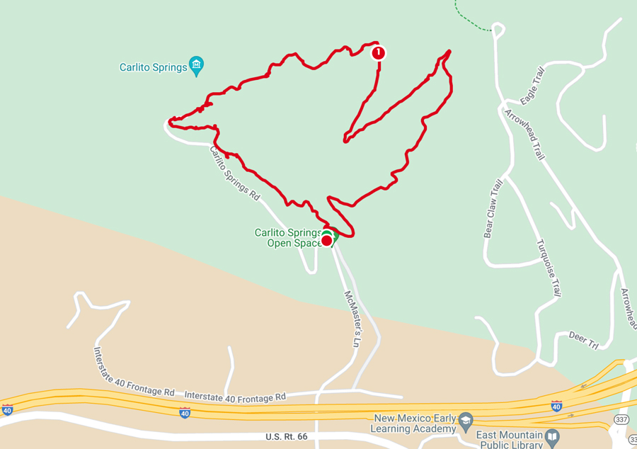
Trail Type: Loop
Difficulty: ⚪ Easy based on OK Which Way’s rating system
Distance: 1.8 miles
Elevation: 6433 – 6725 feet
Planning Your Visit
Location: 25 minutes east of Albuquerque in the Sandia Mountains near the village of Tijeras
Address: 82 Carlito Springs Rd., Cedar Crest, New Mexico
Time Zone: Mountain Standard Time
Parking: Carlito Springs Open Space Trailhead
Park Pass Needed: none
Entrance Fee: none
Trail Map: Link to park maps
Pets: Dogs on leash permitted
Trailhead Parking
The parking area was easy to find, just off I-40 and historic route 66. There was a port-a-potty at one end of the parking lot, which I was thankful for. The trailhead was easy to find as it was located right behind our car.
Going Up
We chose to start our adventure by walking to the left at the trailhead. This route meant we walked the steeper section uphill. We could have gone to the right and walked down the steeper part. I liked the way we did it, but I would have enjoyed the other way too.
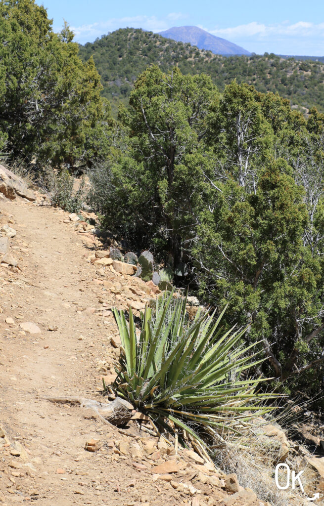
This section of the trail followed the spring, which created a lovely wooded hike in the shade. We gained about 300 feet in half a mile. At 6300+ feet elevation, I could feel that gain.
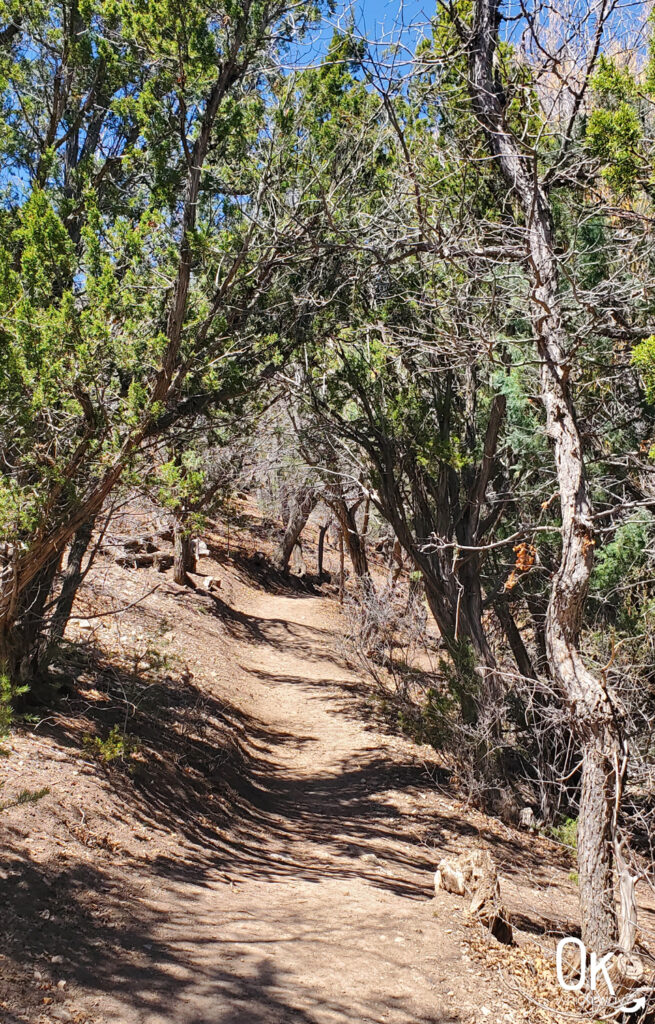
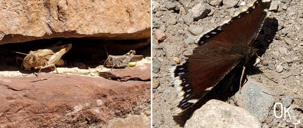
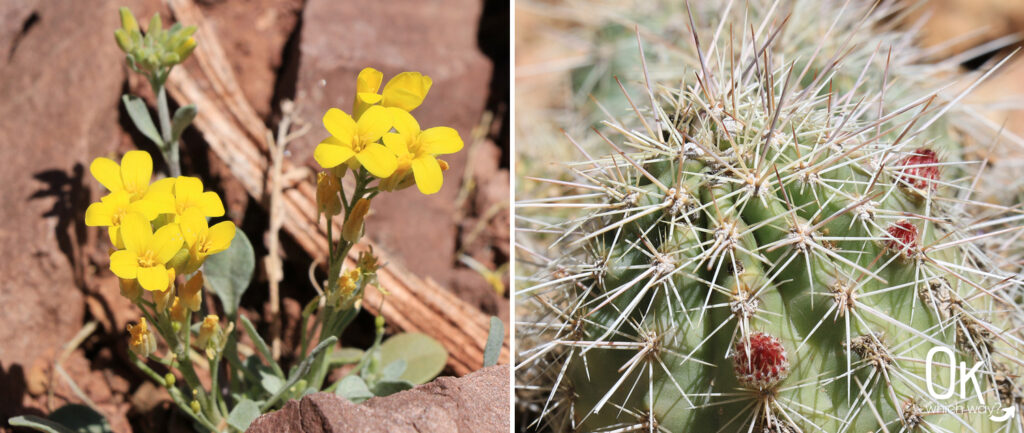
We didn’t spot a lot of wildlife on this hike, but we did see a few birds and insects. A sign did say to watch for black bear, mountain lions, and snakes in the area.
Building Level
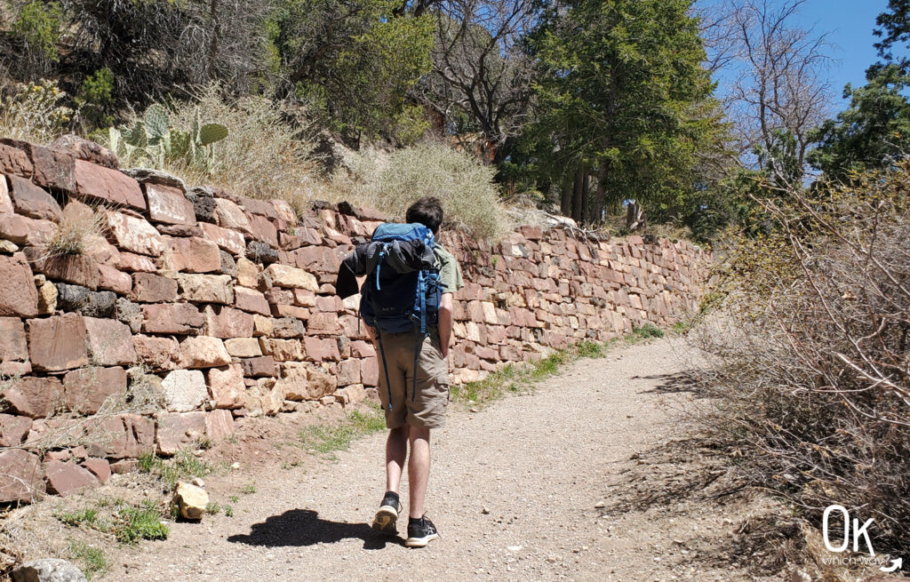
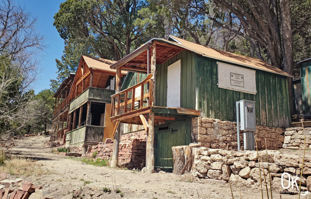
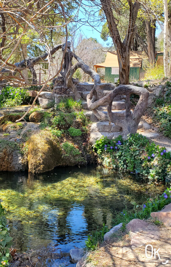
Once at the building level of the hike, we explored a bit. It has an interesting history with a camp building, gardens, cabins, and ponds.
The area was homesteaded by Horace G. Whitcomb in 1882. At that time it took 4 hours to get to the homestead from Albuquerque. Due to the mountain location and spring water the area became a resort – first known as Camp Whitcomb, then Whitcomb Springs, and finally Carlito Springs. It continued to be a resort until 1955.
Due to the resort significance and landscaping, the site is on the National Register of Historic Places.
Going Down
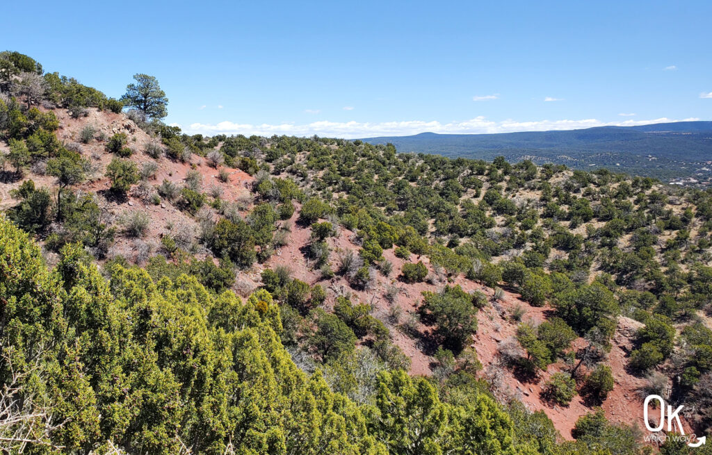
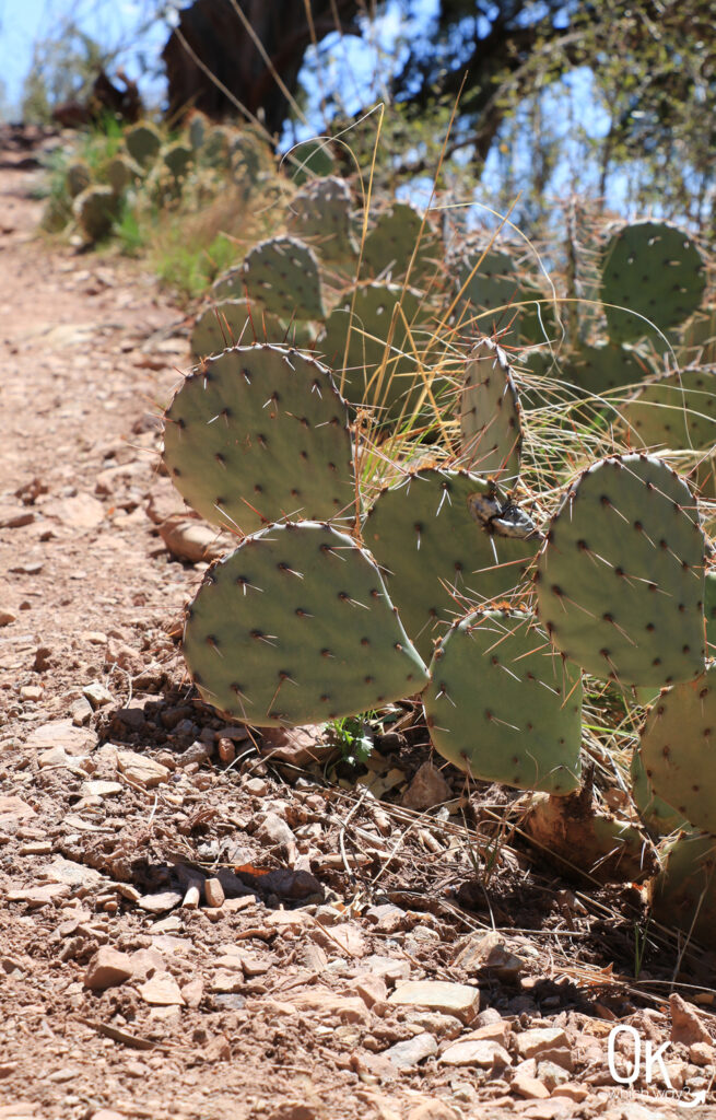
Heading back down presented us with a different landscape than going up. The trail was still well maintained, but a bit more rocky and a lot more red in the soil. Also, not walking along the spring meant more cactus.
Final Thoughts
For us, this was just the hike we needed. We had encountered a lot of wind on this trip, so we were grateful the wind was gone and we could enjoy being outside. We also didn’t have a ton of time, so the short hike was perfect. Two other things I was happy about was 1 – no rain and 2 – the trail was well maintained. I’m not sure when I’ll make it back to Albuquerque, but if I do I would hike this trail again.
LEAVE NO TRACE
Optional Items to Bring
Our Stats
Date: April 2024
Distance: 1.81 miles
Start: Carlito Springs Open Space Trailhead
End: Carlito Springs Open Space Trailhead
Hiking Time: 1hr 16min
*A quick note on our hiking style – We stop and smell the roses. When I go for a run, speed is a consideration. While hiking, it is not. We take photos, watch the chipmunk in the tree, find geocaches, and simply enjoy the adventure. So, typically a hike can be completed in a shorter time than we log.
Historic Route 66
US Highway 66, better known as Route 66, was 1408 miles of road stretching from Chicago to Los Angeles. The route traveled 400ish miles east to west through New Mexico, vaguely following what is now I-40. Near Carlito Springs is a section known as the Musical Highway. When driving over the rumble strips the road sings America the Beautiful. As cool as that is, it is not being maintained and parts have been paved over.

More Outdoor Places to Explore in the Southwest
This trail review is based only on Jennifer’s experience. Hike at your own risk with the understanding that individual scenarios in a natural environment will be variable.