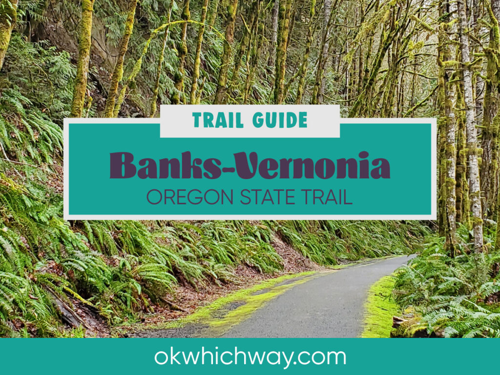
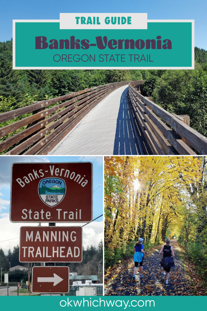
Banks-Vernonia State Trail Guide
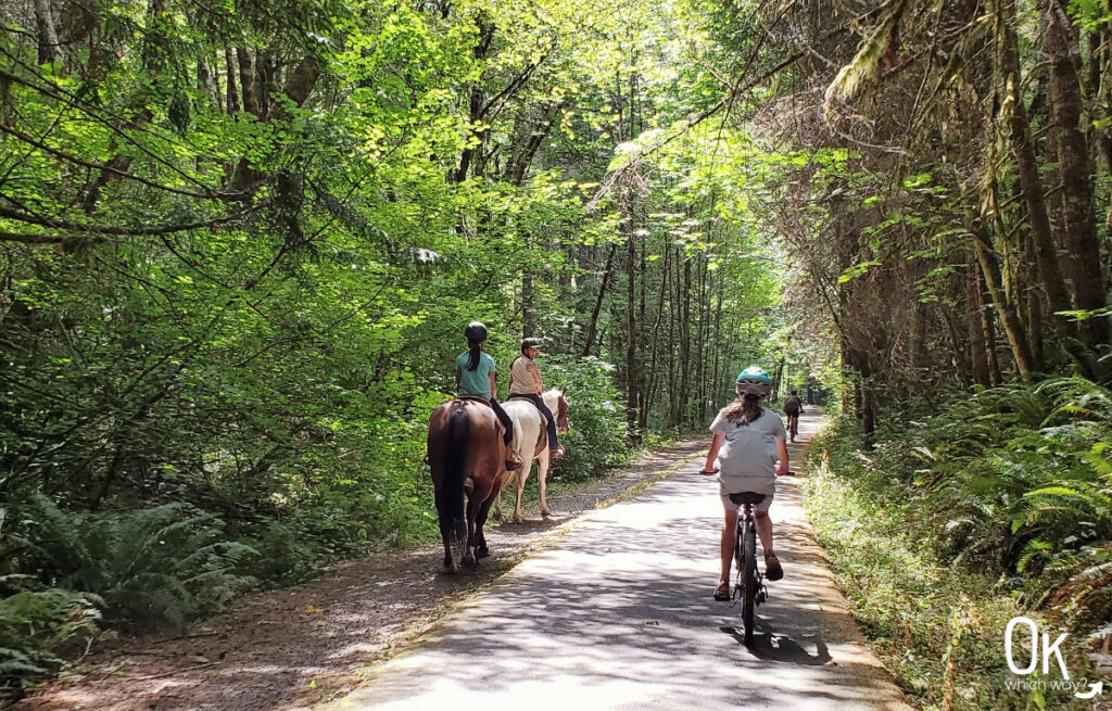
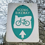
The Banks-Vernonia State Trail is a popular multi use trail in northwest Oregon. It is Oregon’s first rails-to-trails park covering a converted railway with over 21 miles of paved trail between the small towns of Banks and Vernonia. The trail was designated a National Recreation Trail in 2024.
This post may contain affiliate links. When you make a purchase using one of these affiliate links, we get paid a small commission at no extra cost to you.
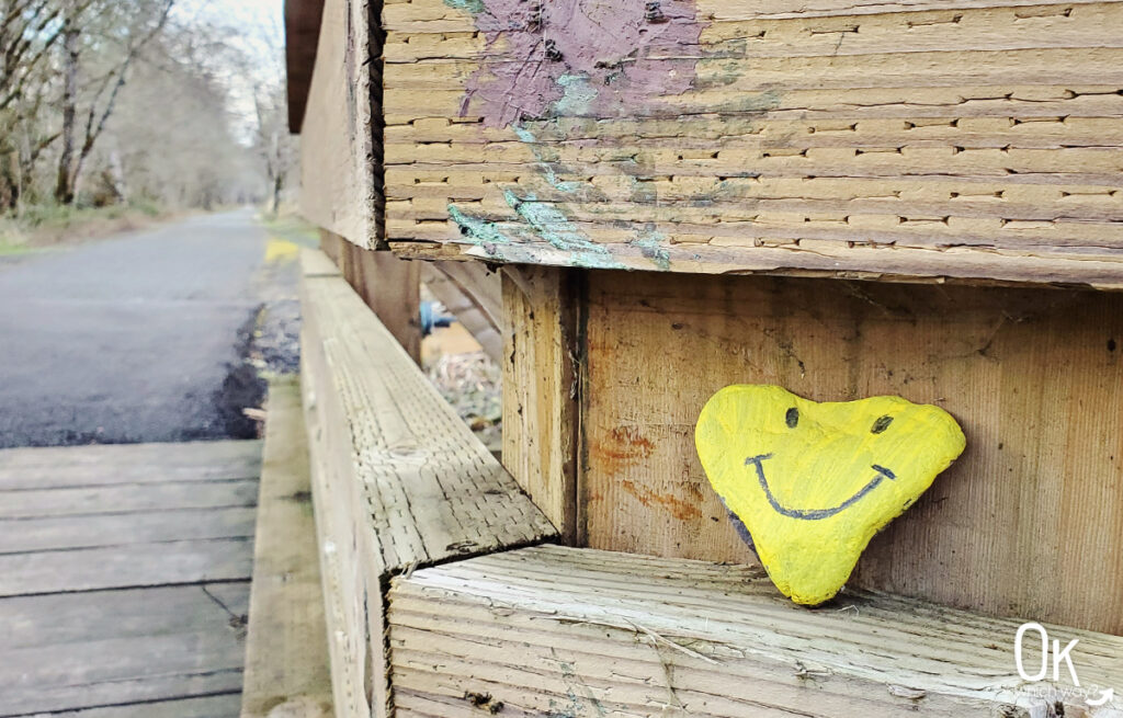
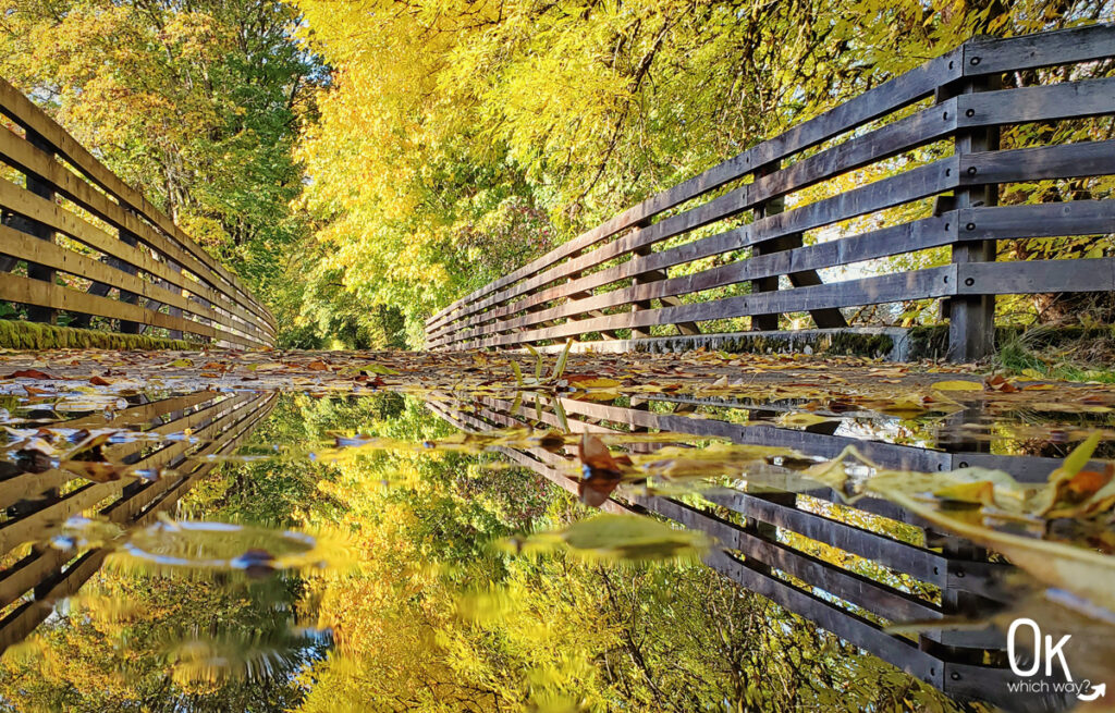
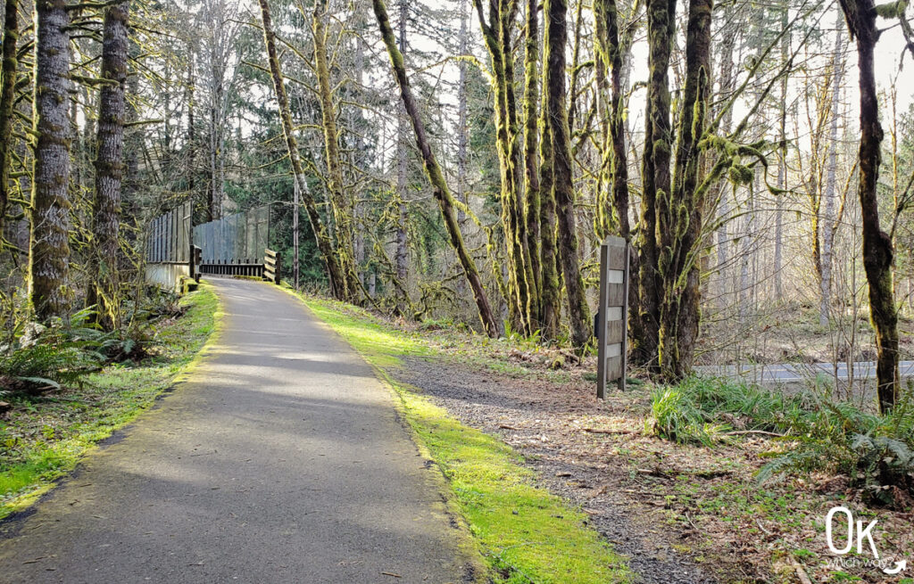
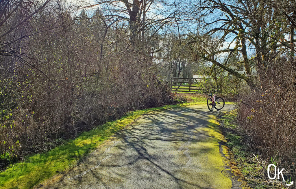
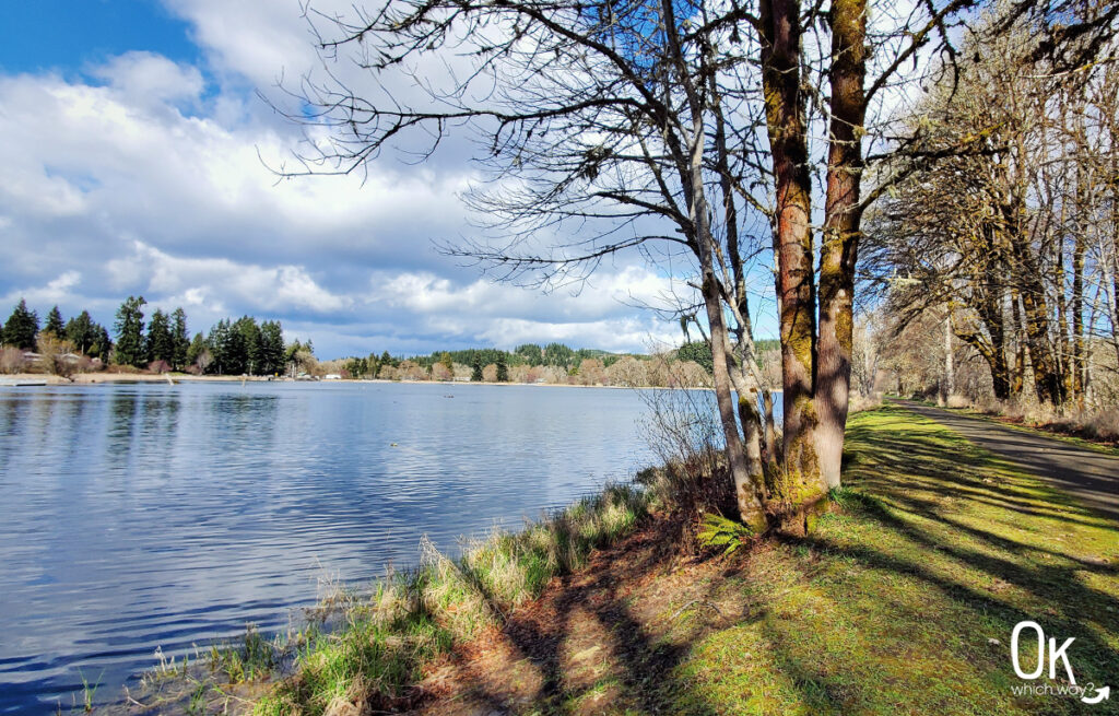
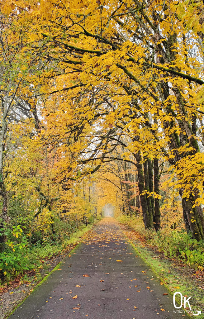
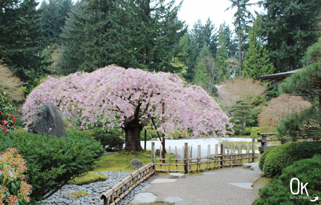
The trail cruises through farmland and forests, with multiple creek crossing via wooden bridges.
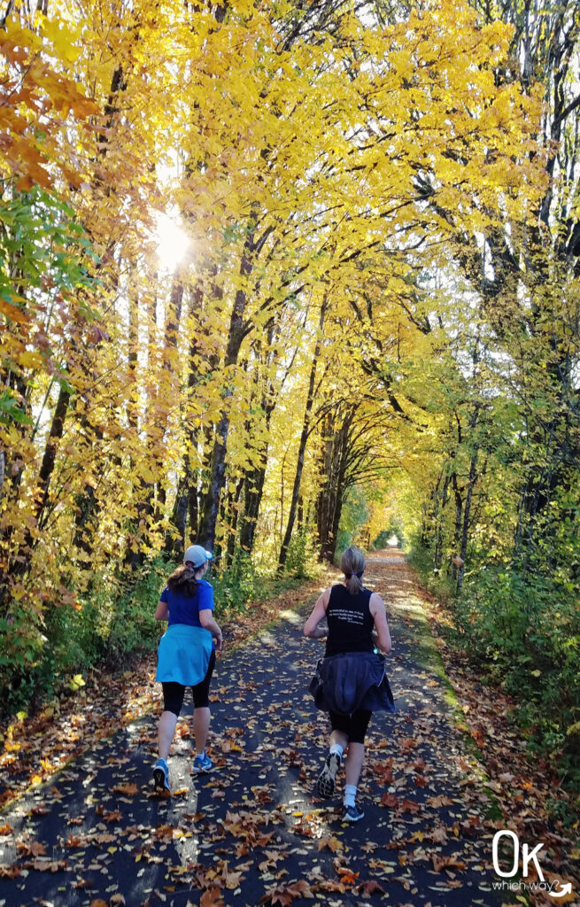
Most people who walk, hike, or run the trail park at one of the six trailheads, enjoy the trail for a few miles, and return to their starting point. Cyclists will often park at the Banks trailhead and bike up to Vernonia and be rewarded with an almost entirely downhill ride back to Banks.
⭐⭐⭐⭐⭐
Location: West of Portland, between the cities of Banks and Vernonia
Trail Type: Out and Back
Elevation: Ranges from 200′ in Banks to nearly 1200′ at the highest point, with Vernonia sitting around 700′
Difficulty: Varies from ⚪ Easy to ⟡ Challenging, depending on the distance of your hike, based on OK Which Way’s rating system
Entrance Fee: Beginning March 30, 2026, parking fees will be required at trailheads, $10/car
FUN FACT: The train tracks remained for about 50 years. From hauling lumber in the 1920’s to the tracks being removed in the 1970’s.
Banks-Vernonia Trail Details
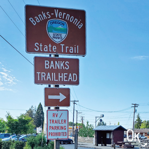
Banks Trailhead to Manning Trailhead
Banks-Vernonia Trail Miles: 0 – 3.8
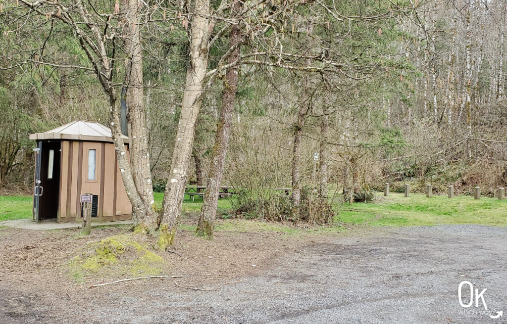
Parking: There is a paved lot with a number of spaces at the corner of NW Sellers Rd and NW Banks Rd. It is kind of a tight squeeze and no trailer parking is available. If the lot is full, there is overflow parking available at Five Star Builders after 5pm on weekdays and all day on weekends.
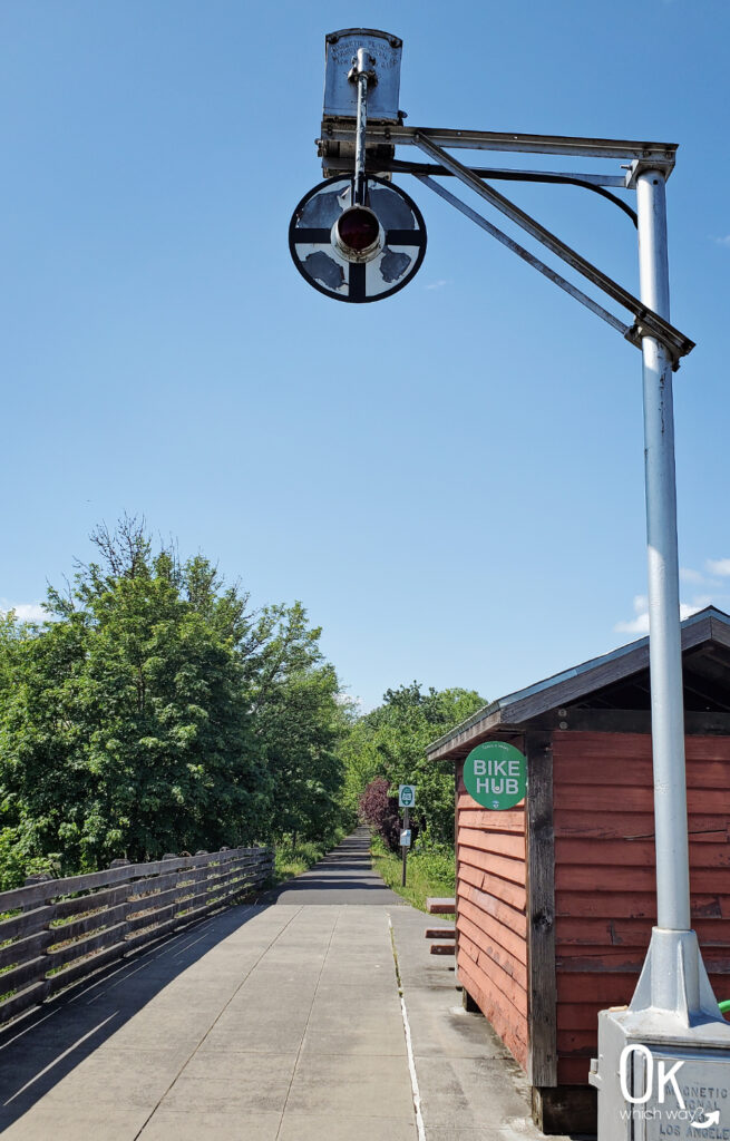
Amenities at the Banks Trailhead:
- Restroom
- Electric vehicle charging station
- Bike repair station
- Cell phone charging station
- Picnic table
Directions from Parking to Trail: The trail begins at the opposite end of the parking lot from the restrooms.
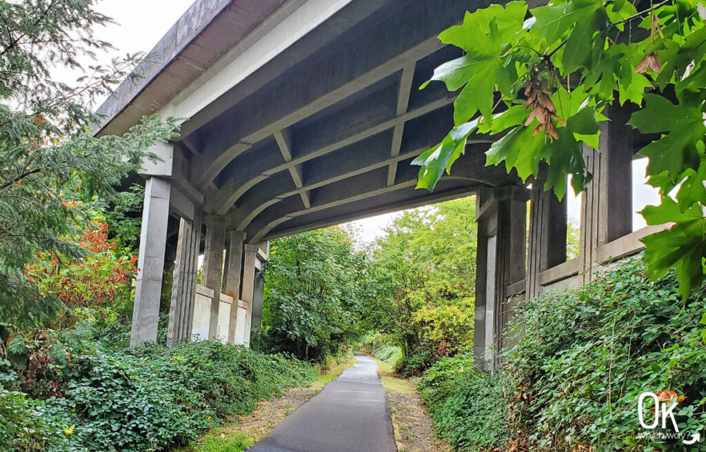
Highlights: This section of the trail begins in the charming city of Banks. Its minimal elevation changes and paved surface make it a favorite among families. It parallels Highway 47 all the way into the small community of Manning. It also follows a former railroad track that is currently being transformed into another rails-to-trails project, the 82 mile Salmonberry Trail that will connect Banks to the Oregon Coast.

The path continues under Highway 26, and crosses Sell Road to the Manning Trailhead.
Manning Trailhead to Buxton Trailhead
Banks-Vernonia Trail Miles: 3.8 – 6.8
Parking: There is a gravel lot off highway 26, near the corner of Pihl Road and Sell Road, with additional parking across Pihl Road.
Amenities at the Manning Trailhead:
- Vault Restroom
- Bike repair station
- Picnic table
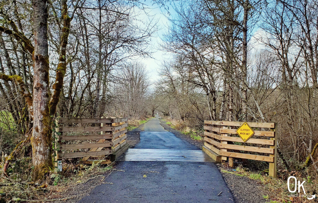
Directions from Parking to Trail: From the main parking lot, cross Pihl Road and head over the small wood bridge to head towards Vernonia.
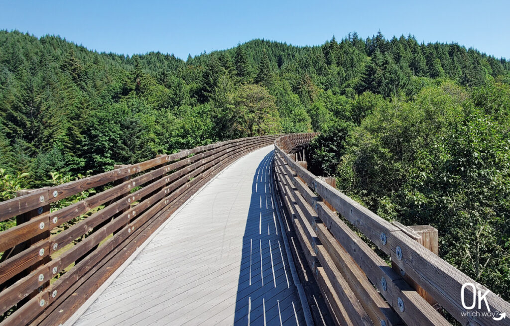
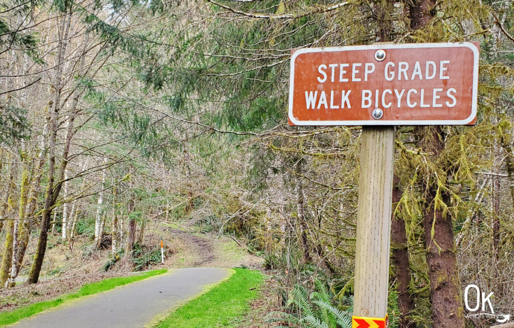
Highlights: This is a short section of three miles. The first mile is primarily flat and meanders through farm fields. Be on the lookout for livestock, hawks and eagles searching for their next meal, and cricket games. Yes, cricket. There is a playing field nearby. After crossing Pongratz Road the trail begins to climb uphill towards the Buxton Trestle through a shady canopy of Douglas fir trees.
Buxton Trailhead to Tophill Trailhead
Banks-Vernonia Trail Miles: 6.8 – 12
Parking: Large gravel parking area with room for horse trailers
Amenities at the Buxton Trailhead:
- Vault Restroom
- Bike repair station
- Picnic tables
Directions from Parking to Trail: When facing the restroom from the parking lot, find the trail to right. It will pass by a small pond and then reach the Banks-Vernonia Trail. To continue towards Vernonia follow the trail to the right. However, if you would like to walk across the trestle, go to the left.
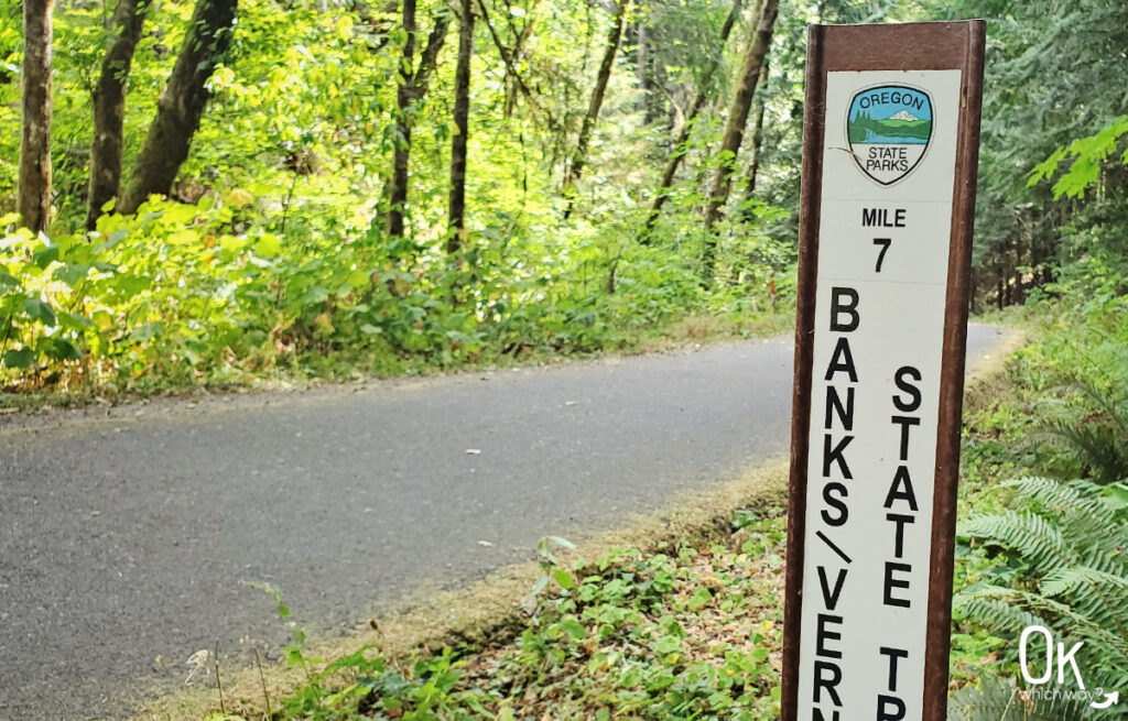
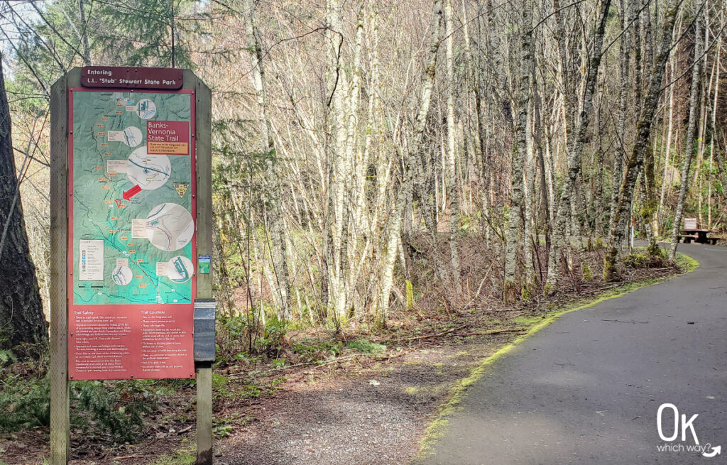
Highlights: Not far from the trailhead, the trail crosses Bacona Road. Then, just after the 7 mile marker is the entrance to Stub Stewart State Park. The trail continues through the park boundaries for about 4 miles. There are multiple trails within Stub Stewart that cross the Banks-Vernonia Trail. At about the half way point of the Banks-Vernonia Trail, the trail crosses the main road that heads into Stub Stewart. After leaving Stub Stewart the trail crosses Highway 47 at a pedestrian bridge. Not long after crossing Nowakowski Road is the highest point on the trail at almost 1200 feet. Then descend to the Tophill Trailhead.
Detour Note: Follow the Timber Beast Trail uphill to reach the Welcome Center at Stub Stewart State Park

Tophill Trailhead to Beaver Creek Trailhead
Banks-Vernonia Trail Miles: 12 – 16.8
Parking: Gravel parking area with enough room for about 10 cars directly off Highway 47
Amenities at the Banks Trailhead:
- Vault Restroom
- Picnic tables
Directions from Parking to Trail: From the parking lot, cross Highway 47 to connect with the trail towards Vernonia.
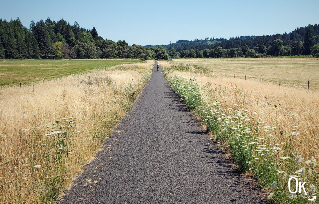
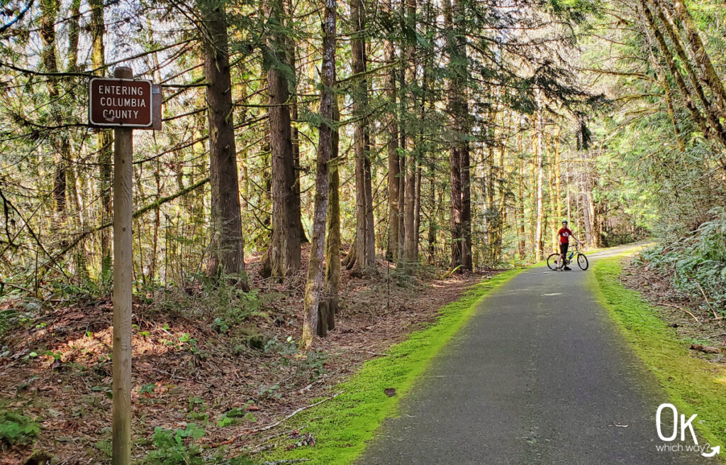
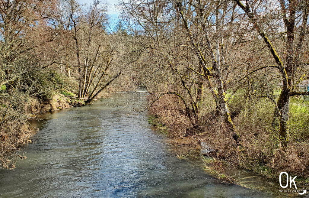
Highlights: Almost immediately after crossing the highway, is a short, but steep grade that descends quickly, then flattens before rising a bit. From here, it is virtually all downhill until reaching Vernonia. Between miles 14 and 15, the trail leaves Washington County and enters Columbia County. The shady trail has occasional views of Beaver Creek, crosses McDonald Road, and meets the Beaver Creek Trailhead at the toilet along the trail.
Beaver Creek Trailhead to Vernonia Trailhead
Banks-Vernonia Trail Miles: 16.8 – 21+
Parking: Small gravel parking area, right off Highway 47
Amenities at the Beaver Creek Trailhead:
- Vault Restroom
- Picnic table
Directions from Parking to Trail: Cross the bridge over Beaver Creek to access the trail. Taking a left will head towards Vernonia, to the right will go towards Banks.
Highlights: Not far past the the Beaver Creek Trailhead, the trail descends out of the trees and begins to follow Highway 47. The trail continues through farmland, crossing multiple driveways, and ultimately reaching the town of Vernonia.
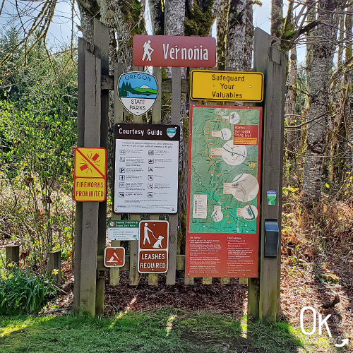
Vernonia Trailhead
Banks-Vernonia Trail Miles: 21+
Parking: Gravel lot at the corner of Maple and Adams.
Amenities at the Banks Trailhead:
- None, officially. But, there is a bike repair station and bathroom nearby.
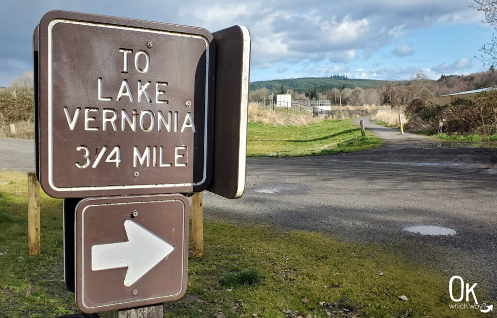
Directions from Parking to Trail: Follow Adams Avenue toward Anderson Park. After reaching the trail, the trailhead sign will be to the right. Over the bridge to the left continues to Vernonia Lake.
Highlights: Vernonia is the last trailhead for the Banks-Vernonia Trail. It sits just blocks away from downtown Vernonia. Follow the trail another mile to reach Vernonia Lake.
FUN FACT: Banks and Vernonia average between 40 and 50 inches of rain each year
Flora and Fauna of the Banks-Vernonia Trail
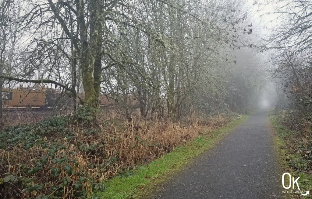
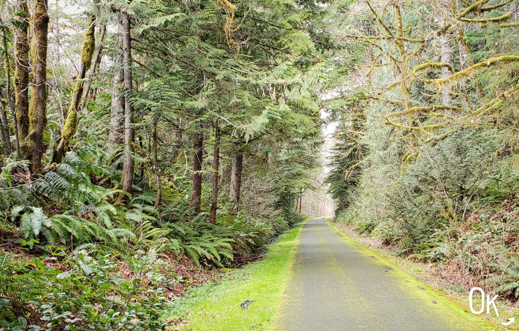
Being located within the foothills of the Coast Range the Banks-Vernonia Trail receives a good amount of rain throughout the year. In return, we enjoy a lush, green region full of natural things.
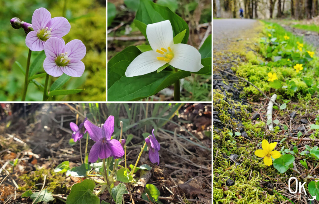


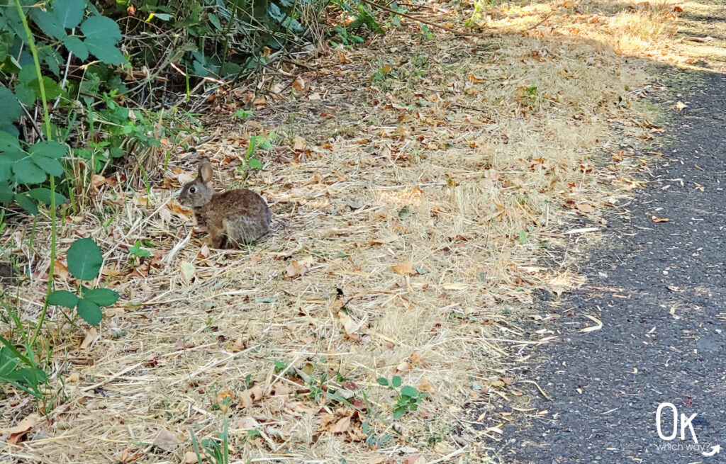
The majority of the trail is surrounded by woodland and many birds can be seen scratching in the underbrush or tweeting high in the trees. Rabbits and deer can also be spotted near the trail, as well as woolybear caterpillars, salamanders, and garter snakes. One afternoon my daughter and I even noticed a rubber boa at the edge of the trail near the Banks trailhead – which excited her as all my kids love finding rubber boas.
Visitor Information
Where to Eat
Be sure to grab a bite to eat at the beginning or end of the trail in Banks or Vernonia, as there is nothing along the 21 miles in between the two towns.
Food Choices in Banks, not far from the trailhead:
Food Choices in downtown Vernonia:
Places to Stay
Lodging is limited in these small towns. Two options in Vernonia are The Caden Hotel and the Carpenter’s Guest House. McMenamins Grand Lodge is a quirky, fun place to stay about 10 minutes from Banks in the town of Forest Grove.
Camping is available at Anderson Park, at the Vernonia trailhead. Stub Stewart State Park offers full hook up and tent sites for camping, as well as cabins and primitive hike in sites.
Optional Items to Bring
LEAVE NO TRACE

Ready to Explore the Banks-Vernonia State Trail?
Pin This to Help Plan Your Adventure ⬇
Places to Explore Nearby
Are you a host of a podcast?
We'd love for you to record an episode in our Hillsboro, Oregon studio. Reach out and we'll make it happen.